Transport Functions
Port
Airport
Hub Profile
Place type
Provincial seat
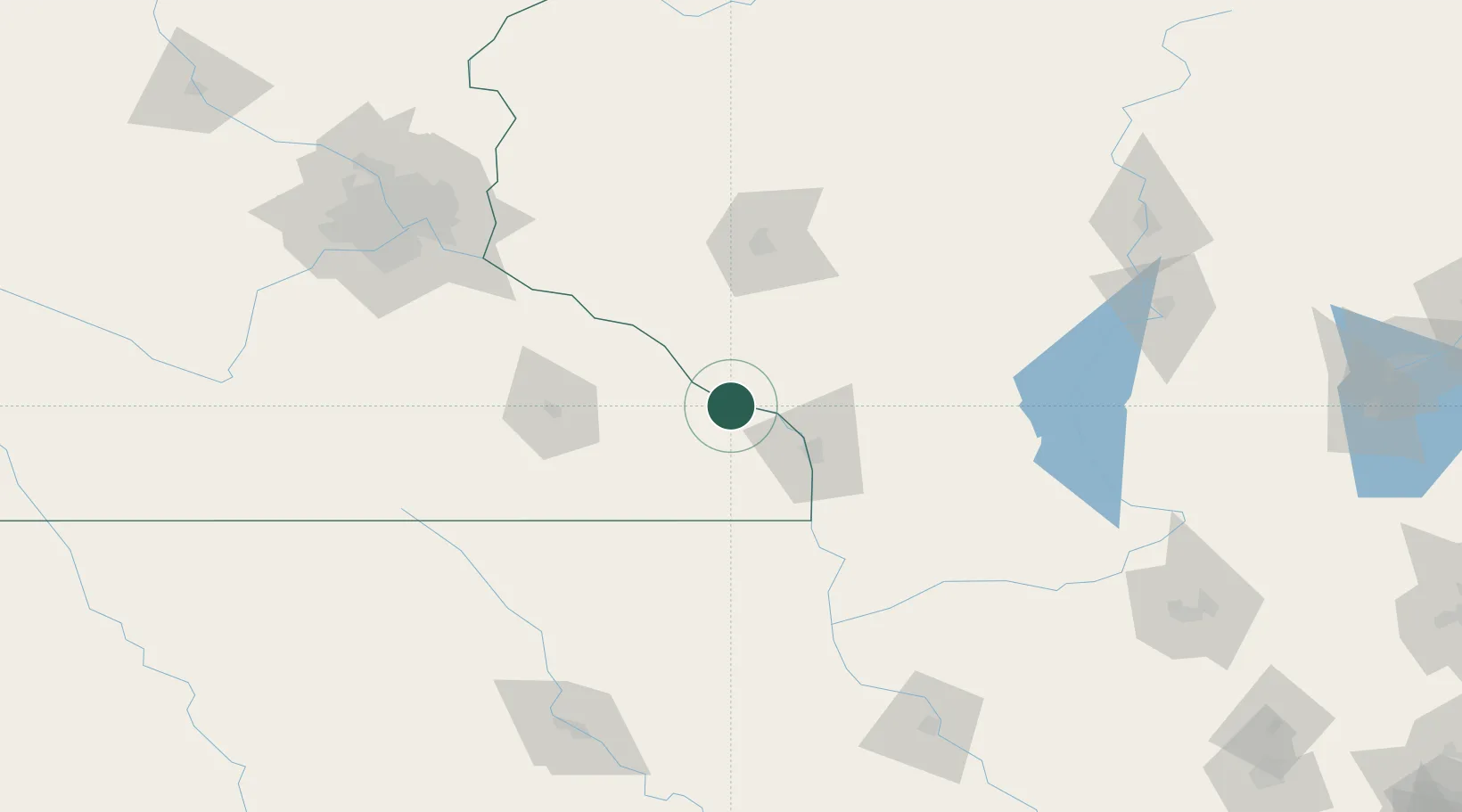
Region
Minnesota
Population
27,094
Time zone
America/Chicago
Elevation
203 m
Location
Nearby Logistics Neighbours
Cities
- 1Rushford29 km
- 2Trempealeau33 km
- 3Saint Charles35 km
- 4Onalaska37 km
- 5Alma37 km
Airports
Trade Zones
DatabookThe Record of Consolidated Knowledge
United States beyond logistics?