Medium airport · United States

Rochester International AirportKRST
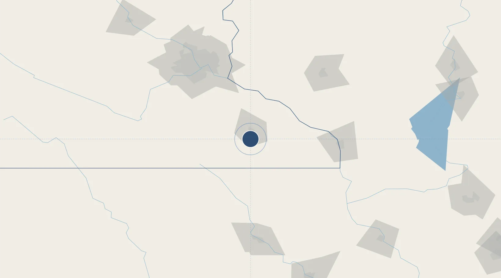
43.9083°, -92.5000°
9,034 ft
Longest runway
2
Runways
1,317 ft
Elevation

Runway & Layout

Rochester International Airport runway & taxiway layout
Runway & taxiway layout — OpenStreetMap (ODbL) / OurAirports

Radio Frequencies

ATIS
120.5 MHz
TWR
118.3 MHz
GND
121.9 MHz
CTAF
118.3 MHz
A/D
119.2 MHz
APP/DEP
RDO
122.45 MHz
PRINCETON RDO
UNIC
122.95 MHz
UNICOM
OurAirports

Navaids

RS NDB Mingo 329 kHz
OurAirports

Runways · 2

RunwayDimensions SurfaceTrue headingLit
13/31 9,034 × 150ft Concrete 132°
03/21 7,301 × 150ft Concrete 026°
OurAirports

Airport Specifications

IATA code
RST
OurAirports
ICAO code
KRST
OurAirports
Airport class
Medium airport
OurAirports
Scheduled service
Yes
OurAirports
Runway surface
Concrete
OurAirports
Served city
Rochester
OurAirports

Location

Location of KRST
Natural Earth 10m (public domain) · Minnesota · KRST · 43.91, -92.50GoogleOSMYandex

Nearby Logistics Neighbours

Airports
  1. 1Northeast Iowa Regional Airport93 km
  2. 2La Crosse Regional Airport100 km
  3. 3Mason City Municipal Airport107 km
  4. 4Minneapolis–Saint Paul International Airport / Wold–Chamberlain Field122 km
  5. 5Saint Paul Downtown Holman Field123 km
Nearest neighbours — logibook spatial index (haversine) over the source coordinates
Cities
  1. 1Stewartville7 km
  2. 2Byron16 km
  3. 3Kasson23 km
  4. 4Pine Island34 km
  5. 5Saint Charles37 km
Nearest neighbours — logibook spatial index (haversine) over the source coordinates
Ports
  1. 1Superior316 km
  2. 2Duluth319 km
  3. 3Ashland325 km
  4. 4Washburn332 km
  5. 5Kaukauna341 km
Nearest neighbours — logibook spatial index (haversine) over the source coordinates
Trade Zones
  1. 1FTZ No. 119 Minneapolis-St. Paul132 km
  2. 2FTZ No. 175 Cedar Rapids223 km
  3. 3FTZ No. 266 Dane County244 km
  4. 4FTZ No. 271 Jo-Daviess and Carroll Counties255 km
  5. 5FTZ No. 107 Polk County268 km
Nearest neighbours — logibook spatial index (haversine) over the source coordinates
DatabookThe Record of Consolidated Knowledge
United States beyond logistics?
Browse databook

All Sources

AirportsOurAirports
Public domain
Portsthe NGA World Port Index
Public domain (US gov)
LocationsUN/LOCODE
UN/LOCODE — free
Trade Zonesthe World Bank SEZ database
CC BY 4.0
Trade ZonesOpen Zone Map
CC BY
InfrastructureOpenStreetMap
ODbL 1.0
← United States airports