Medium airport · United States

Northeast Iowa Regional AirportKCCY
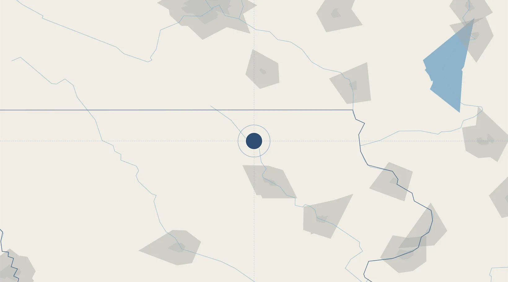
43.0726°, -92.6108°
4,000 ft
Longest runway
3
Runways
1,125 ft
Elevation

Runway & Layout

Northeast Iowa Regional Airport runway & taxiway layout
Runway & taxiway layout — OpenStreetMap (ODbL) / OurAirports

Radio Frequencies

AWOS
125.525 MHz
AWOS 3
A/D
118.9 MHz
WATERLOO APP/DEP
RDO
122.4 MHz
FORT DODGE RDO
UNIC
122.8 MHz
CTAF/UNICOM
OurAirports

Runways · 3

RunwayDimensions SurfaceTrue headingLit
12/30 4,000 × 75ft Concrete 125°
04/22 2,536 × 160ft Grass 045°
17/35 1,780 × 170ft Grass 180°
OurAirports

Airport Specifications

IATA code
CCY
OurAirports
ICAO code
KCCY
OurAirports
Airport class
Medium airport
OurAirports
Scheduled service
No
OurAirports
Runway surface
Concrete
OurAirports
Served city
Charles City
OurAirports

Location

Location of KCCY
Natural Earth 10m (public domain) · Iowa · KCCY · 43.07, -92.61GoogleOSMYandex

Nearby Logistics Neighbours

Airports
  1. 1Mason City Municipal Airport59 km
  2. 2Waterloo Regional Airport60 km
  3. 3Rochester International Airport93 km
  4. 4Fort Dodge Regional Airport141 km
  5. 5La Crosse Regional Airport141 km
Nearest neighbours — logibook spatial index (haversine) over the source coordinates
Cities
  1. 1Plainfield27 km
  2. 2Osage29 km
  3. 3Shell Rock40 km
  4. 4Saint Ansgar41 km
  5. 5Sheffield54 km
Nearest neighbours — logibook spatial index (haversine) over the source coordinates
Ports
  1. 1Kaukauna374 km
  2. 2Milwaukee384 km
  3. 3Port Washington386 km
  4. 4Kenosha395 km
  5. 5Racine395 km
Nearest neighbours — logibook spatial index (haversine) over the source coordinates
Trade Zones
  1. 1FTZ No. 175 Cedar Rapids140 km
  2. 2FTZ No. 107 Polk County180 km
  3. 3FTZ No. 271 Jo-Daviess and Carroll Counties211 km
  4. 4FTZ No. 119 Minneapolis-St. Paul217 km
  5. 5FTZ No. 266 Dane County236 km
Nearest neighbours — logibook spatial index (haversine) over the source coordinates
DatabookThe Record of Consolidated Knowledge
United States beyond logistics?
Browse databook

All Sources

AirportsOurAirports
Public domain
Portsthe NGA World Port Index
Public domain (US gov)
LocationsUN/LOCODE
UN/LOCODE — free
Trade Zonesthe World Bank SEZ database
CC BY 4.0
Trade ZonesOpen Zone Map
CC BY
InfrastructureOpenStreetMap
ODbL 1.0
← United States airports