Medium airport · United States
Volk FieldKVOK
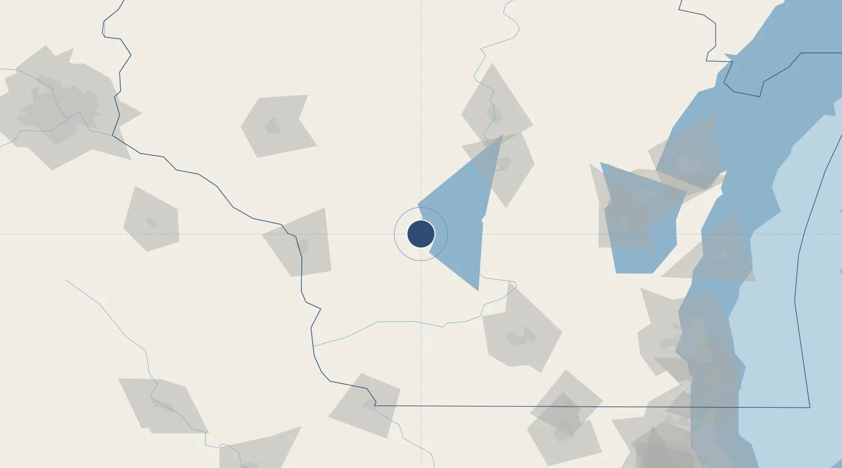
43.9390°, -90.2534°
9,000 ft
Longest runway
1
Runways
912 ft
Elevation
Runway & Layout

Radio Frequencies
TWR
127.5 MHz
GND
121.9 MHz
CTAF
127.5 MHz
A/D
135.25 MHz
APP/DEP
MISC
132.025 MHz
HARDWOOD RANGE
OPS
26.04 MHz
SHEBOYGAN RANGE
PTD
37.22 MHz
Navaids
VOK TACAN Volk 110.40 MHz
Runways · 1
| Runway | Dimensions | Surface | True heading | Lit |
|---|---|---|---|---|
| 09/27 | 9,000 × 150ft | Concrete | 089° | ✓ |
Airport Specifications
IATA code
VOK
ICAO code
KVOK
Airport class
Medium airport
Scheduled service
No
Runway surface
Concrete
Served city
Camp Douglas
Location
Nearby Logistics Neighbours
Airports
- 1La Crosse Regional Airport81 km
- 2Central Wisconsin Airport104 km
- 3Dane County Regional Truax Field116 km
- 4Wausau Downtown Airport121 km
- 5Wittman Regional Airport136 km
Cities
- 1New Lisbon12 km
- 2Necedah18 km
- 3Tomah20 km
- 4Elroy23 km
- 5Adrian28 km
Ports
- 1Kaukauna163 km
- 2Green Bay189 km
- 3Port Washington202 km
- 4Sheboygan206 km
- 5Manitowoc209 km
Trade Zones
- 1FTZ No. 266 Dane County106 km
- 2FTZ No. 167 Brown County167 km
- 3FTZ No. 271 Jo-Daviess and Carroll Counties181 km
- 4FTZ No. 041 Milwaukee199 km
- 5FTZ No. 176 Rockford206 km
DatabookThe Record of Consolidated Knowledge
United States beyond logistics?