Foreign Trade Zone · United States
FTZ No. 175 Cedar Rapids Active
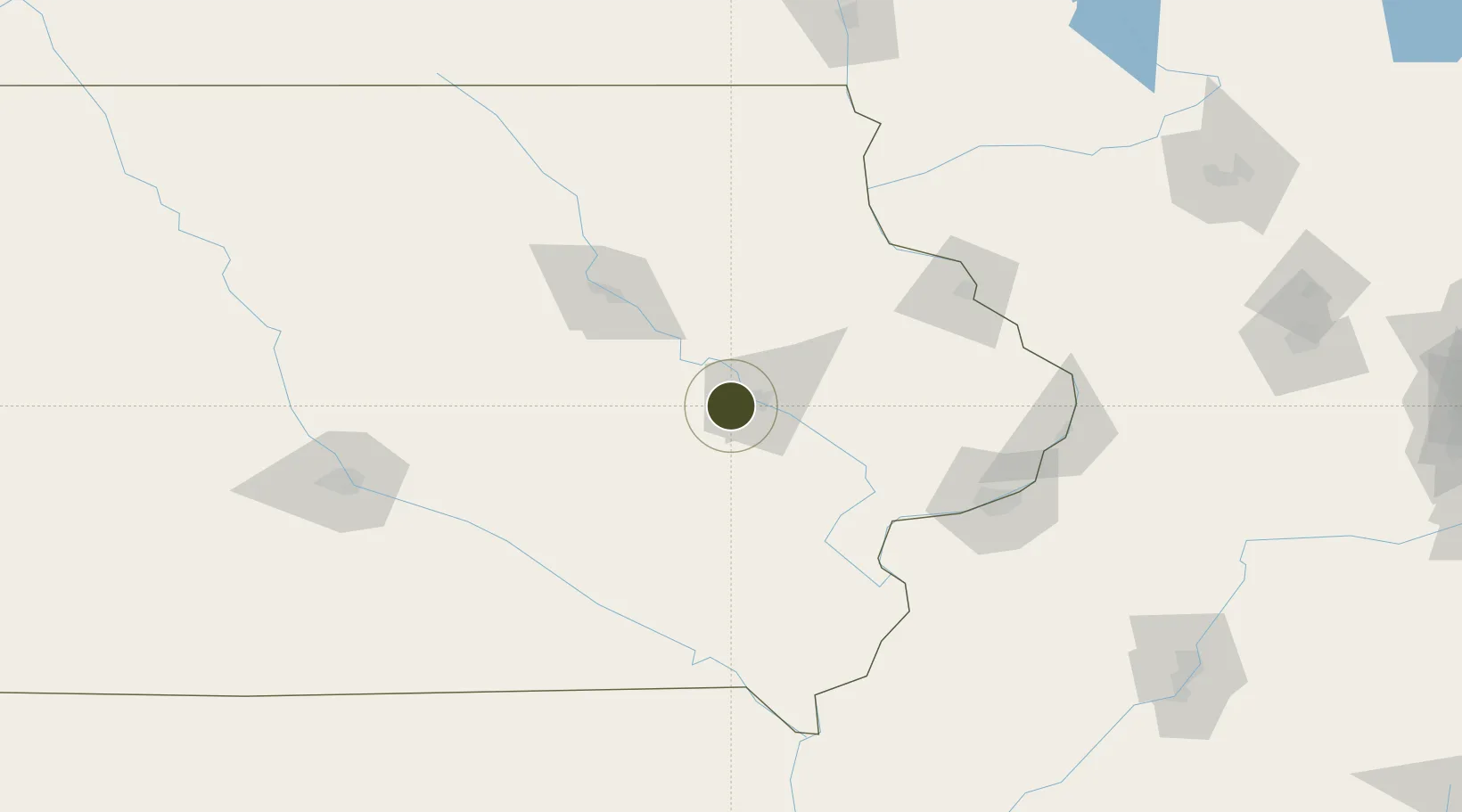
41.9651°, -91.8028°
329.4 km
Nearest port
11.7 km
Nearest airport
Gateway access
Zone profile
Zone type
Foreign Trade Zone
Region
Iowa
Status
Active
Management
Public
Operator
Cedar Rapids Airport Commission
Legal framework
Foreign-Trade Zones Act
Location
Nearby Logistics Neighbours
Ports
- 1Great Lakes329 km
- 2Waukegan332 km
- 3Kenosha335 km
- 4Wilmette341 km
- 5Racine341 km
Airports
- 1The Eastern Iowa Airport12 km
- 2Waterloo Regional Airport82 km
- 3Dubuque Regional Airport102 km
- 4Ottumwa Regional Airport110 km
- 5Quad City International Airport122 km
Cities
- 1Walford9 km
- 2Norway12 km
- 3Hiawatha13 km
- 4Blairstown24 km
- 5Conroy32 km
Trade Zones
- 1FTZ No. 271 Jo-Daviess and Carroll Counties135 km
- 2FTZ No. 055 Burlington141 km
- 3FTZ No. 107 Polk County162 km
- 4FTZ No. 266 Dane County211 km
- 5FTZ No. 176 Rockford216 km
DatabookThe Record of Consolidated Knowledge
United States beyond logistics?