Medium airport · United States

La Crosse Regional AirportKLSE
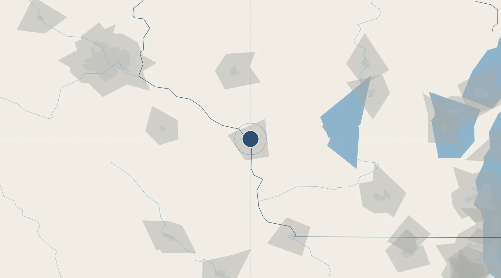
43.8790°, -91.2567°
8,742 ft
Longest runway
3
Runways
655 ft
Elevation

Runway & Layout

La Crosse Regional Airport runway & taxiway layout
Runway & taxiway layout — OpenStreetMap (ODbL) / OurAirports

Radio Frequencies

ATIS
124.95 MHz
TWR
118.45 MHz
GND
121.8 MHz
CTAF
118.45 MHz
CNTR
128.6 MHz
MINNEAPOLIS CNTR
RDO
122.2 MHz
GREEN BAY RDO
UNIC
122.95 MHz
UNICOM
OurAirports

Navaids

LS NDB Mindi 272 kHz
LSE VOR-DME La Crosse 108.40 MHz
OurAirports

Runways · 3

RunwayDimensions SurfaceTrue headingLit
18/36 8,742 × 150ft Concrete 179°
13/31 6,050 × 150ft Asphalt 134°
04/22 5,199 × 150ft Asphalt 036°
OurAirports

Airport Specifications

IATA code
LSE
OurAirports
ICAO code
KLSE
OurAirports
Airport class
Medium airport
OurAirports
Scheduled service
Yes
OurAirports
Runway surface
Concrete
OurAirports
Served city
La Crosse
OurAirports

Location

Location of KLSE
Natural Earth 10m (public domain) · Wisconsin · KLSE · 43.88, -91.26GoogleOSMYandex

Nearby Logistics Neighbours

Airports
  1. 1Volk Field81 km
  2. 2Rochester International Airport100 km
  3. 3Chippewa Valley Regional Airport111 km
  4. 4Northeast Iowa Regional Airport141 km
  5. 5Central Wisconsin Airport161 km
Nearest neighbours — logibook spatial index (haversine) over the source coordinates
Cities
  1. 1Onalaska2 km
  2. 2Hokah16 km
  3. 3Bangor21 km
  4. 4Caledonia33 km
  5. 5Winona36 km
Nearest neighbours — logibook spatial index (haversine) over the source coordinates
Ports
  1. 1Kaukauna243 km
  2. 2Green Bay268 km
  3. 3Port Washington278 km
  4. 4Sheboygan286 km
  5. 5Milwaukee288 km
Nearest neighbours — logibook spatial index (haversine) over the source coordinates
Trade Zones
  1. 1FTZ No. 266 Dane County154 km
  2. 2FTZ No. 271 Jo-Daviess and Carroll Counties193 km
  3. 3FTZ No. 119 Minneapolis-St. Paul199 km
  4. 4FTZ No. 175 Cedar Rapids217 km
  5. 5FTZ No. 167 Brown County246 km
Nearest neighbours — logibook spatial index (haversine) over the source coordinates
DatabookThe Record of Consolidated Knowledge
United States beyond logistics?
Browse databook

All Sources

AirportsOurAirports
Public domain
Portsthe NGA World Port Index
Public domain (US gov)
LocationsUN/LOCODE
UN/LOCODE — free
Trade Zonesthe World Bank SEZ database
CC BY 4.0
Trade ZonesOpen Zone Map
CC BY
InfrastructureOpenStreetMap
ODbL 1.0
← United States airports