Transport Functions
Road
Multimodal
Hub Profile
Place type
Populated place
Region
Wisconsin
Population
1,097
Time zone
America/Chicago
Elevation
415 m
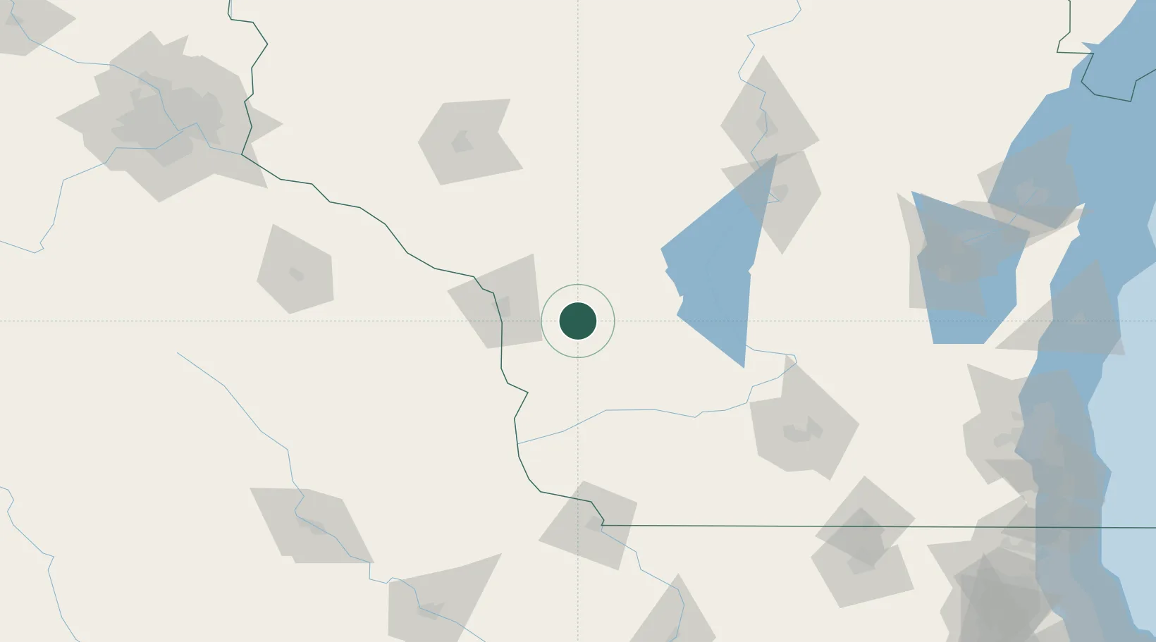
Location
Nearby Logistics Neighbours
Ports
- 1Kaukauna210 km
- 2Green Bay237 km
- 3Port Washington239 km
- 4Milwaukee248 km
- 5Sheboygan248 km
Airports
- 1La Crosse Regional Airport41 km
- 2Volk Field47 km
- 3Dane County Regional Truax Field135 km
- 4Chippewa Valley Regional Airport136 km
- 5Rochester International Airport139 km
Trade Zones
- 1FTZ No. 266 Dane County116 km
- 2FTZ No. 271 Jo-Daviess and Carroll Counties166 km
- 3FTZ No. 176 Rockford210 km
- 4FTZ No. 167 Brown County215 km
- 5FTZ No. 175 Cedar Rapids215 km
DatabookThe Record of Consolidated Knowledge
United States beyond logistics?