Foreign Trade Zone · United States

FTZ No. 271 Jo-Daviess and Carroll Counties Active
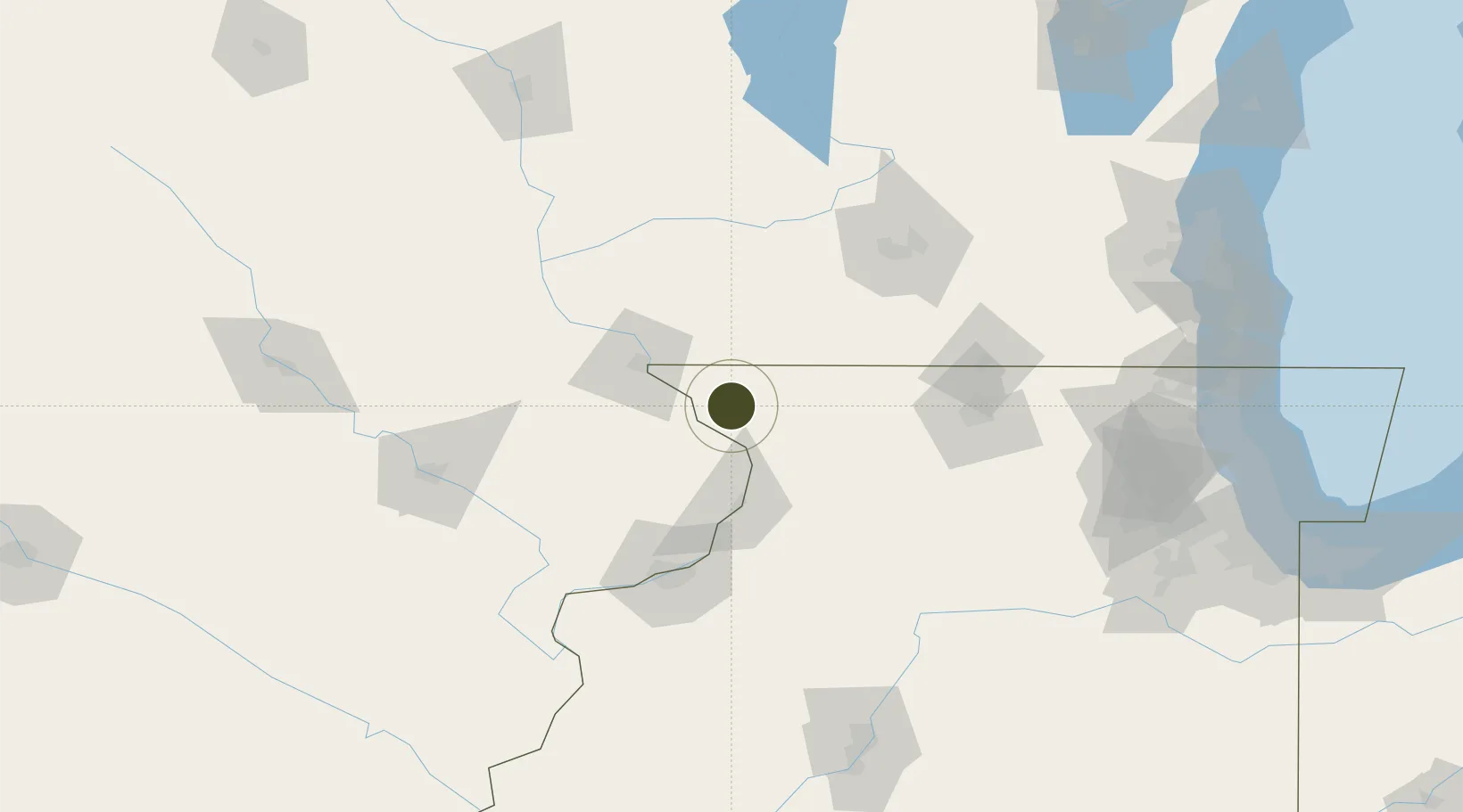
42.3144°, -90.2394°
1,173 ha
Zone area
197.9 km
Nearest port
39.8 km
Nearest airport

Gateway access

Nearest neighbours — logibook spatial index (haversine) over the source coordinates

Zone profile

Zone type
Foreign Trade Zone
Open Zone Map
Region
Illinois
Open Zone Map
Status
Active
Open Zone Map
Management
Public
Open Zone Map
Operator
Jo-Carroll Foreign Trade Zone Board
Open Zone Map
Legal framework
Foreign-Trade Zones Act
Open Zone Map

Location

Location of ozm-4723
Natural Earth 10m (public domain) · Illinois · ozm-4723 · 42.31, -90.24GoogleOSMYandex

Nearby Logistics Neighbours

Ports
  1. 1Great Lakes198 km
  2. 2Waukegan199 km
  3. 3Kenosha201 km
  4. 4Racine207 km
  5. 5Milwaukee209 km
Nearest neighbours — logibook spatial index (haversine) over the source coordinates
Airports
  1. 1Dubuque Regional Airport40 km
  2. 2Chicago Rockford International Airport95 km
  3. 3Quad City International Airport99 km
  4. 4Dane County Regional Truax Field118 km
  5. 5The Eastern Iowa Airport131 km
Nearest neighbours — logibook spatial index (haversine) over the source coordinates
Cities
  1. 1Hanover8 km
  2. 2Scales Mound17 km
  3. 3Shullsburg28 km
  4. 4East Dubuque37 km
  5. 5Darlington41 km
Nearest neighbours — logibook spatial index (haversine) over the source coordinates
Trade Zones
  1. 1FTZ No. 176 Rockford85 km
  2. 2FTZ No. 266 Dane County95 km
  3. 3FTZ No. 175 Cedar Rapids135 km
  4. 4FTZ No. 055 Burlington182 km
  5. 5FTZ No. 114 Peoria188 km
Nearest neighbours — logibook spatial index (haversine) over the source coordinates
DatabookThe Record of Consolidated Knowledge
United States beyond logistics?
Browse databook

All Sources

Trade ZonesOpen Zone Map
CC BY
Portsthe NGA World Port Index
Public domain (US gov)
AirportsOurAirports
Public domain
LocationsUN/LOCODE
UN/LOCODE — free
← United States trade zones