UN/LOCODE hub · United States
USEOI
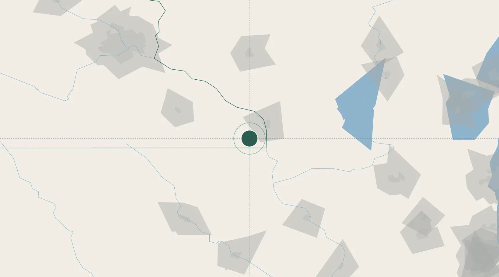
Caledonia
43.6333°, -91.4833°
2,787
Population
2
Transport functions
Transport Functions
Road
Multimodal
Hub Profile
Place type
Provincial seat
Region
Minnesota
Population
2,787
Time zone
America/Chicago
Elevation
360 m
Location
Nearby Logistics Neighbours
Ports
- 1Kaukauna267 km
- 2Port Washington293 km
- 3Green Bay294 km
- 4Milwaukee299 km
- 5Sheboygan304 km
Airports
- 1La Crosse Regional Airport33 km
- 2Rochester International Airport87 km
- 3Volk Field104 km
- 4Northeast Iowa Regional Airport110 km
- 5Chippewa Valley Regional Airport137 km
Trade Zones
DatabookThe Record of Consolidated Knowledge
United States beyond logistics?