Transport Functions
Road
Multimodal
Hub Profile
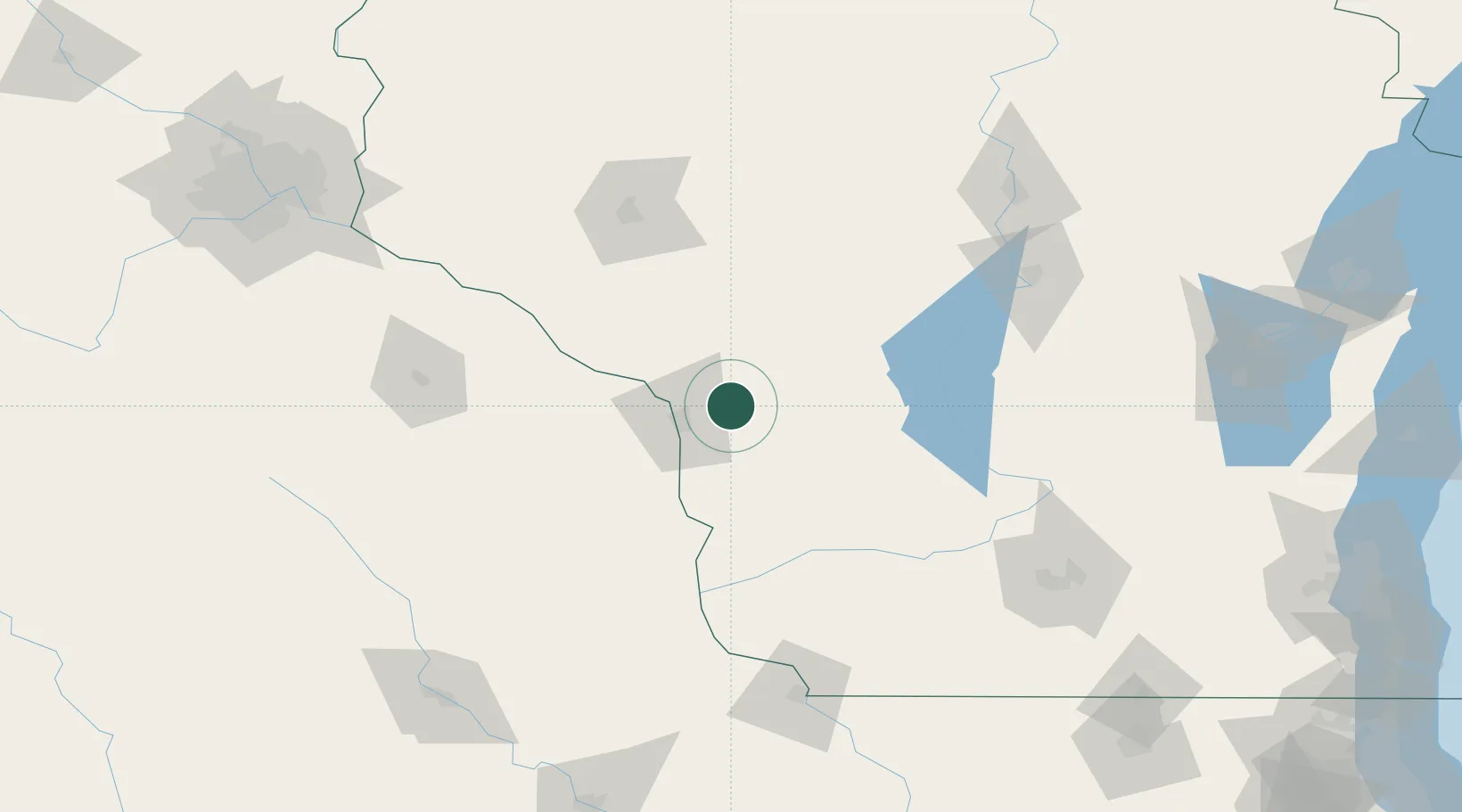
Place type
Populated place
Region
Wisconsin
Population
1,492
Time zone
America/Chicago
Elevation
223 m
Location
Nearby Logistics Neighbours
Ports
- 1Kaukauna222 km
- 2Green Bay248 km
- 3Port Washington259 km
- 4Sheboygan265 km
- 5Manitowoc269 km
Airports
- 1La Crosse Regional Airport21 km
- 2Volk Field60 km
- 3Chippewa Valley Regional Airport114 km
- 4Rochester International Airport120 km
- 5Central Wisconsin Airport144 km
Trade Zones
DatabookThe Record of Consolidated Knowledge
United States beyond logistics?