Foreign Trade Zone · United States
FTZ No. 119 Minneapolis-St. Paul Active
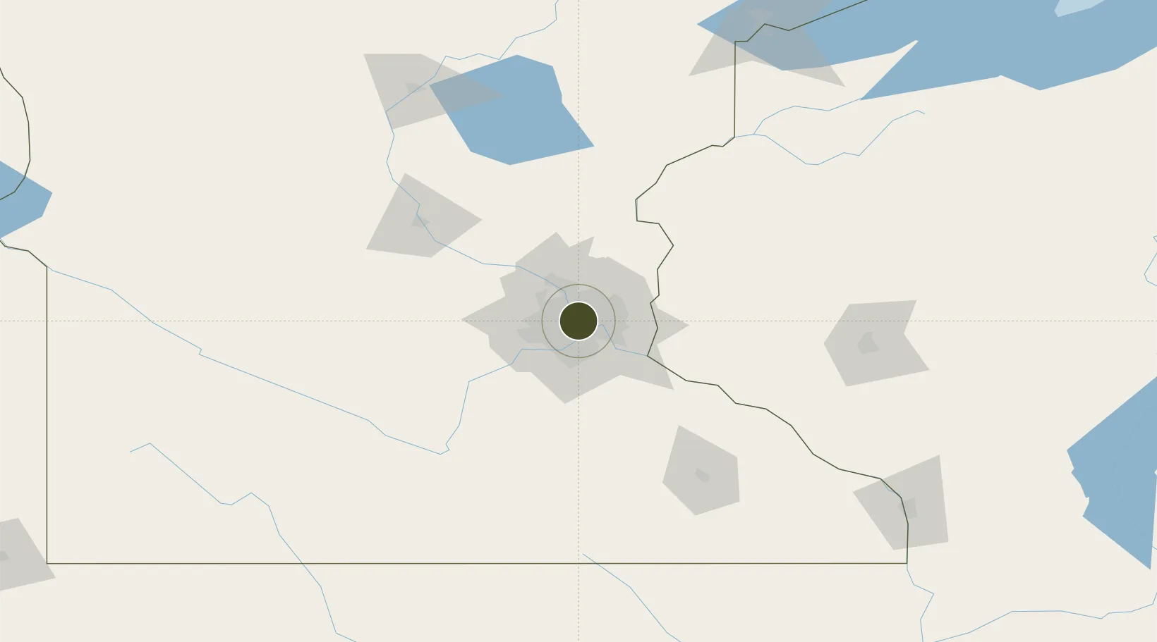
44.9693°, -93.2368°
216.1 km
Nearest port
10.0 km
Nearest airport
Gateway access
Zone profile
Zone type
Foreign Trade Zone
Region
Minnesota
Status
Active
Management
Public-Private Partnership
Operator
Greater Metropolitan Area FTZ Commission
Legal framework
Foreign-Trade Zones Act
Location
Nearby Logistics Neighbours
Ports
- 1Superior216 km
- 2Duluth218 km
- 3Ashland258 km
- 4Two Harbors259 km
- 5Washburn262 km
Airports
Cities
- 1Minneapolis4 km
- 2Saint Paul4 km
- 3Medina7 km
- 4Columbia Heights8 km
- 5Fort Snelling10 km
Trade Zones
- 1FTZ No. 051 Duluth214 km
- 2FTZ No. 288 Northwest Iowa303 km
- 3FTZ No. 220 Sioux Falls324 km
- 4FTZ No. 266 Dane County353 km
- 5FTZ No. 175 Cedar Rapids354 km
DatabookThe Record of Consolidated Knowledge
United States beyond logistics?