UN/LOCODE hub · United States
USJZW
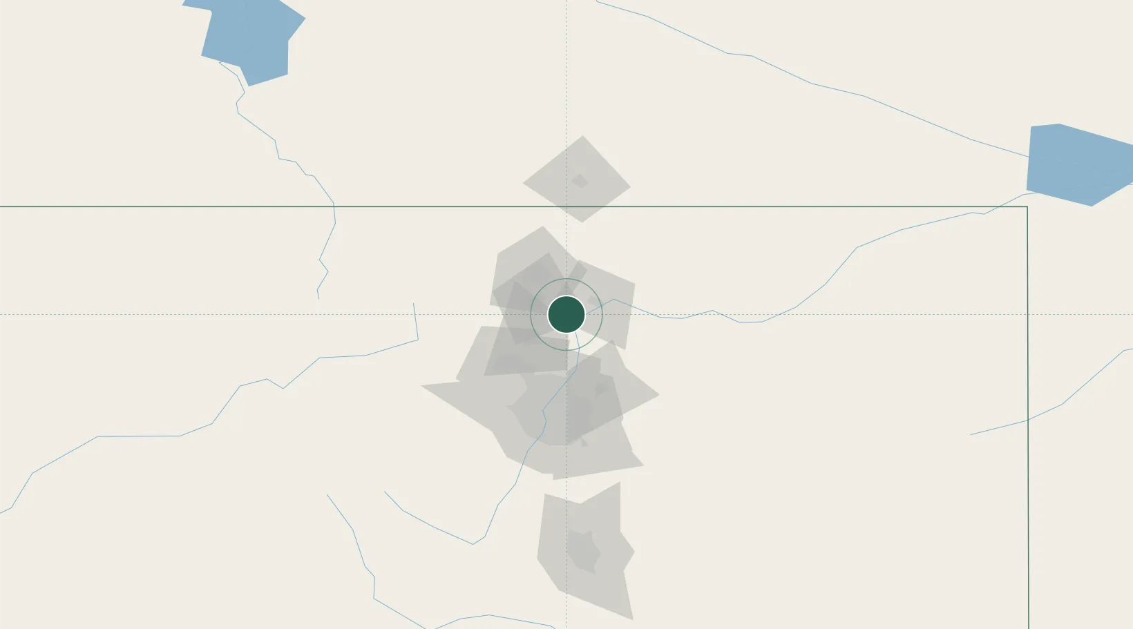
Johnstown
40.3333°, -104.9000°
14,896
Population
2
Transport functions
Transport Functions
Road
Multimodal
Hub Profile
Place type
Populated place
Region
Colorado
Population
14,896
Time zone
America/Denver
Elevation
1,479 m
Location
Nearby Logistics Neighbours
Cities
- 1Berthoud16 km
- 2La Salle17 km
- 3Firestone24 km
- 4Frederick26 km
- 5Fort Lupton29 km
Ports
- 1Duluth1253 km
- 2Superior1253 km
- 3Newport Beach1373 km
- 4San Diego1384 km
- 5Rosarito1404 km
Airports
Trade Zones
- 1FTZ No. 123 Denver66 km
- 2FTZ No. 298 Jefferson County69 km
- 3FTZ No. 293 Limon158 km
- 4FTZ No. 112 Colorado Springs167 km
- 5FTZ No. 030 Salt Lake City601 km
DatabookThe Record of Consolidated Knowledge
United States beyond logistics?