UN/LOCODE hub · United States
USBVC
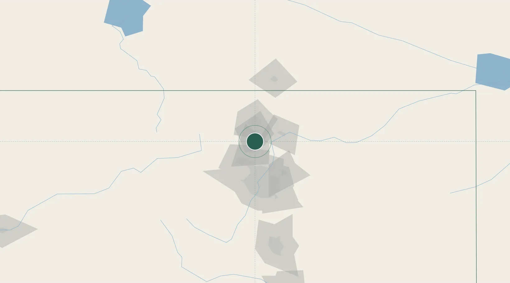
Berthoud
40.3000°, -105.0833°
6,031
Population
2
Transport functions
Transport Functions
Rail
Road
Hub Profile
Place type
Populated place
Region
Colorado
Population
6,031
Time zone
America/Denver
Elevation
1,535 m
Location
Nearby Logistics Neighbours
Ports
- 1Duluth1267 km
- 2Superior1268 km
- 3Newport Beach1358 km
- 4San Diego1369 km
- 5Rosarito1389 km
Airports
Trade Zones
- 1FTZ No. 298 Jefferson County62 km
- 2FTZ No. 123 Denver63 km
- 3FTZ No. 112 Colorado Springs165 km
- 4FTZ No. 293 Limon166 km
- 5FTZ No. 030 Salt Lake City586 km
DatabookThe Record of Consolidated Knowledge
United States beyond logistics?