UN/LOCODE hub · United States
USQAA
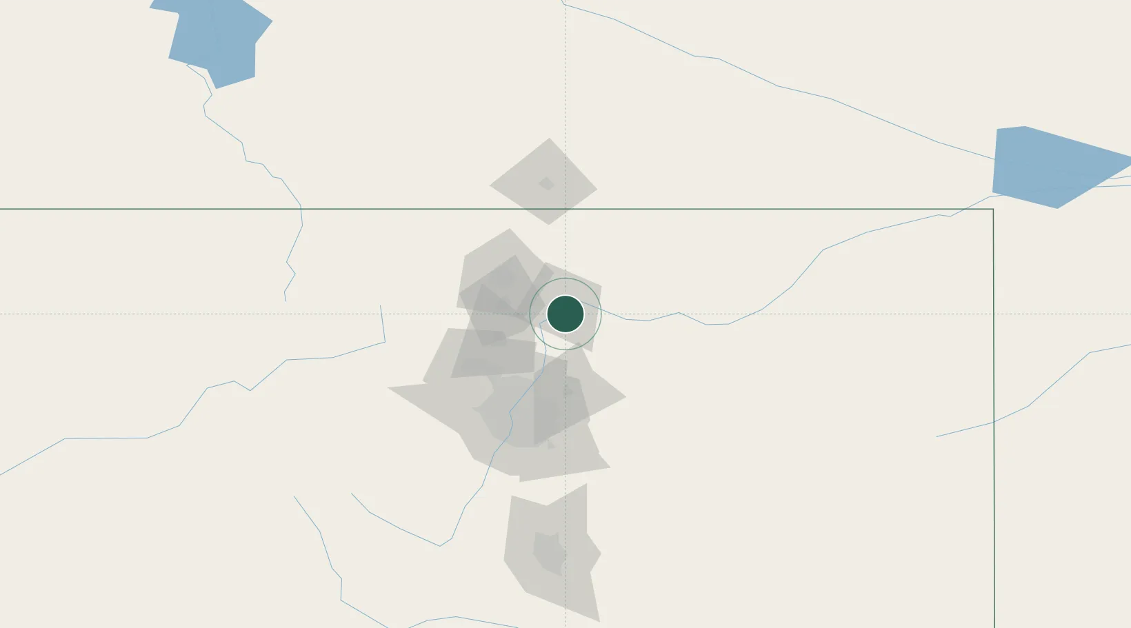
La Salle
40.3500°, -104.7000°
2,052
Population
2
Transport functions
Transport Functions
Rail
Road
Hub Profile
Place type
Populated place
Region
Colorado
Population
2,052
Time zone
America/Denver
Elevation
1,426 m
Location
Nearby Logistics Neighbours
Cities
- 1Johnstown17 km
- 2Lucerne21 km
- 3Fort Lupton31 km
- 4Keenesburg32 km
- 5Firestone33 km
Ports
- 1Duluth1239 km
- 2Superior1239 km
- 3Newport Beach1389 km
- 4San Diego1399 km
- 5Rosarito1419 km
Airports
Trade Zones
- 1FTZ No. 123 Denver72 km
- 2FTZ No. 298 Jefferson County78 km
- 3FTZ No. 293 Limon149 km
- 4FTZ No. 112 Colorado Springs169 km
- 5FTZ No. 110 Albuquerque615 km
DatabookThe Record of Consolidated Knowledge
United States beyond logistics?