UN/LOCODE hub · United States
USKYZ

Kyle

29.9833°, -97.8667°
35,733
Population
2
Transport functions

Transport Functions

Rail
Road
UN/LOCODE

Hub Profile

Place type
Populated place
GeoNames
Region
Texas
GeoNames
Population
35,733
GeoNames
Time zone
America/Chicago
GeoNames
Elevation
222 m
GeoNames

Location

Location of USKYZ
Natural Earth 10m (public domain) · Texas · USKYZ · 29.98, -97.87GoogleOSMYandex

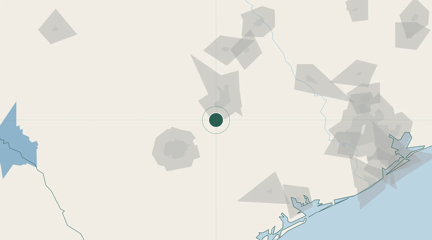
Nearby Logistics Neighbours

Cities
  1. 1Wimberley23 km
  2. 2Canyon Lake39 km
  3. 3Red Rock40 km
  4. 4Luling41 km
  5. 5Lakeway44 km
Nearest neighbours — logibook spatial index (haversine) over the source coordinates
Ports
  1. 1Port Lavaca194 km
  2. 2Palacios216 km
  3. 3Rockport233 km
  4. 4Corpus Christi245 km
  5. 5Deer Park246 km
Nearest neighbours — logibook spatial index (haversine) over the source coordinates
Airports
  1. 1San Marcos Regional Airport10 km
  2. 2Austin Bergstrom International Airport31 km
  3. 3New Braunfels National Airport35 km
  4. 4Austin Executive Airport54 km
  5. 5Randolph Air Force Base64 km
Nearest neighbours — logibook spatial index (haversine) over the source coordinates
Trade Zones
  1. 1FTZ No. 183 Austin34 km
  2. 2FTZ No. 080 San Antonio106 km
  3. 3FTZ No. 246 Waco184 km
  4. 4FTZ No. 122 Corpus Christi246 km
  5. 5FTZ No. 084 Harris County248 km
Nearest neighbours — logibook spatial index (haversine) over the source coordinates
DatabookThe Record of Consolidated Knowledge
United States beyond logistics?
Browse databook

All Sources

LocationsUN/LOCODE
UN/LOCODE — free
LocationsGeoNames
CC BY 4.0
Portsthe NGA World Port Index
Public domain (US gov)
AirportsOurAirports
Public domain
Trade Zonesthe World Bank SEZ database
CC BY 4.0
Trade ZonesOpen Zone Map
CC BY
← United States locations