UN/LOCODE hub · United States
USWJB
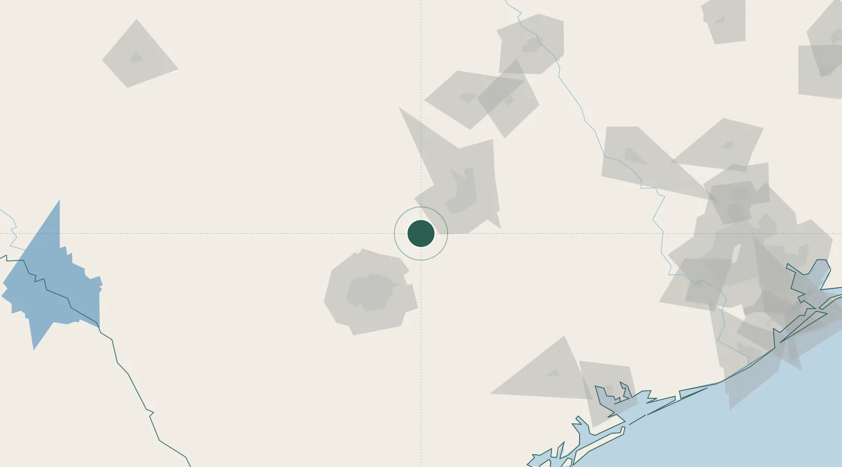
Wimberley
30.0000°, -98.1000°
2,670
Population
2
Transport functions
Transport Functions
Road
Multimodal
Hub Profile
Place type
Populated place
Region
Texas
Population
2,670
Time zone
America/Chicago
Elevation
262 m
Location
Nearby Logistics Neighbours
Cities
- 1Canyon Lake21 km
- 2Kyle23 km
- 3Lakeway42 km
- 4Cibolo50 km
- 5Schertz53 km
Ports
- 1Port Lavaca211 km
- 2Palacios234 km
- 3Rockport243 km
- 4Corpus Christi252 km
- 5Port Ingleside259 km
Airports
Trade Zones
- 1FTZ No. 183 Austin46 km
- 2FTZ No. 080 San Antonio89 km
- 3FTZ No. 246 Waco191 km
- 4FTZ No. 122 Corpus Christi253 km
- 5FTZ No. 084 Harris County270 km
DatabookThe Record of Consolidated Knowledge
United States beyond logistics?