Transport Functions
Rail
Road
Hub Profile
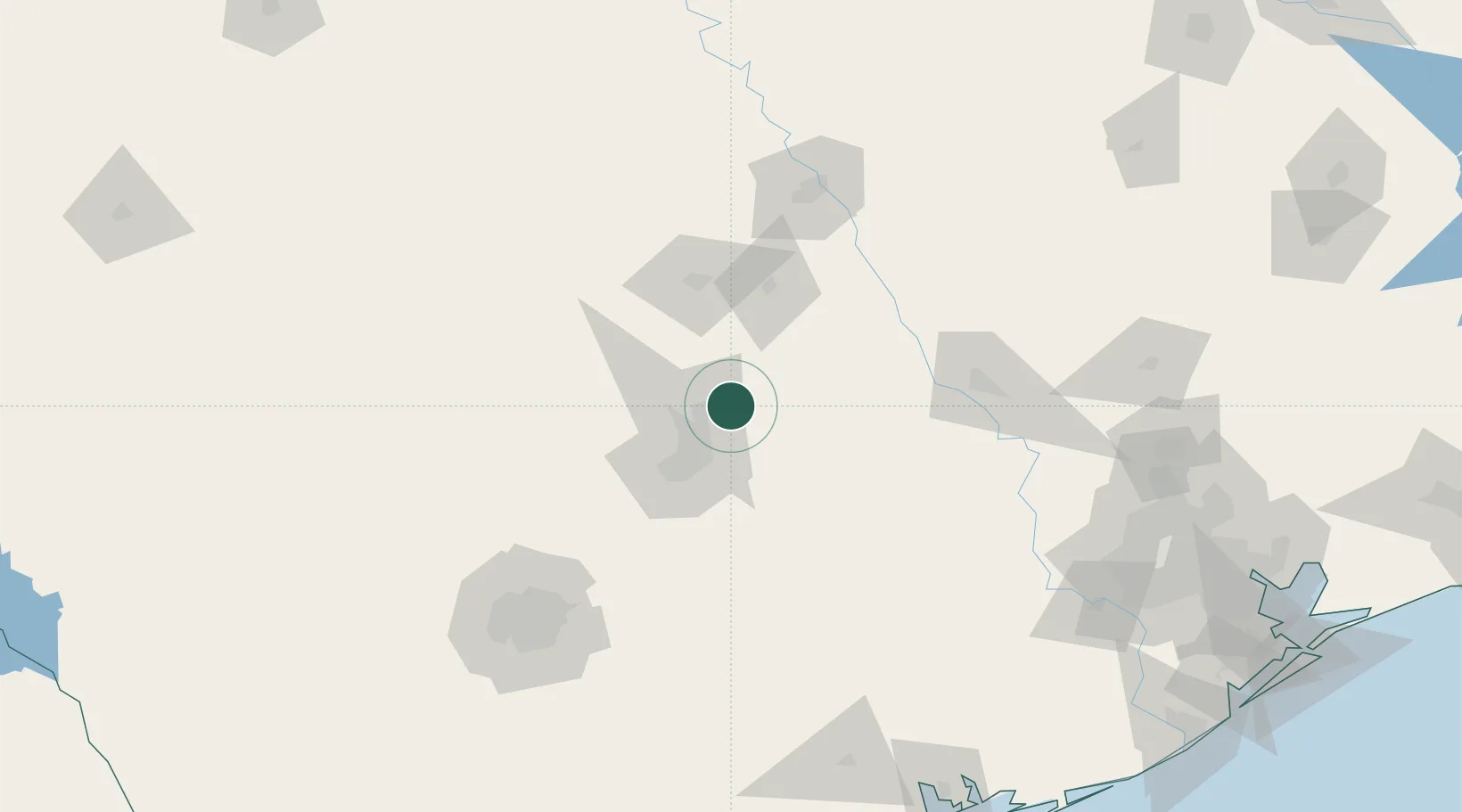
Place type
Populated place
Region
Texas
Population
22,722
Time zone
America/Chicago
Elevation
202 m
Location
Nearby Logistics Neighbours
Cities
- 1Elgin28 km
- 2Bartlett30 km
- 3Thorndale34 km
- 4San Gabriel39 km
- 5McDade41 km
Ports
- 1Deer Park230 km
- 2Port Lavaca231 km
- 3Houston235 km
- 4Pasadena242 km
- 5Palacios243 km
Airports
Trade Zones
- 1FTZ No. 183 Austin35 km
- 2FTZ No. 246 Waco117 km
- 3FTZ No. 080 San Antonio168 km
- 4FTZ No. 113 Ellis County203 km
- 5FTZ No. 084 Harris County231 km
DatabookThe Record of Consolidated Knowledge
United States beyond logistics?