UN/LOCODE hub · United States
USBQ2
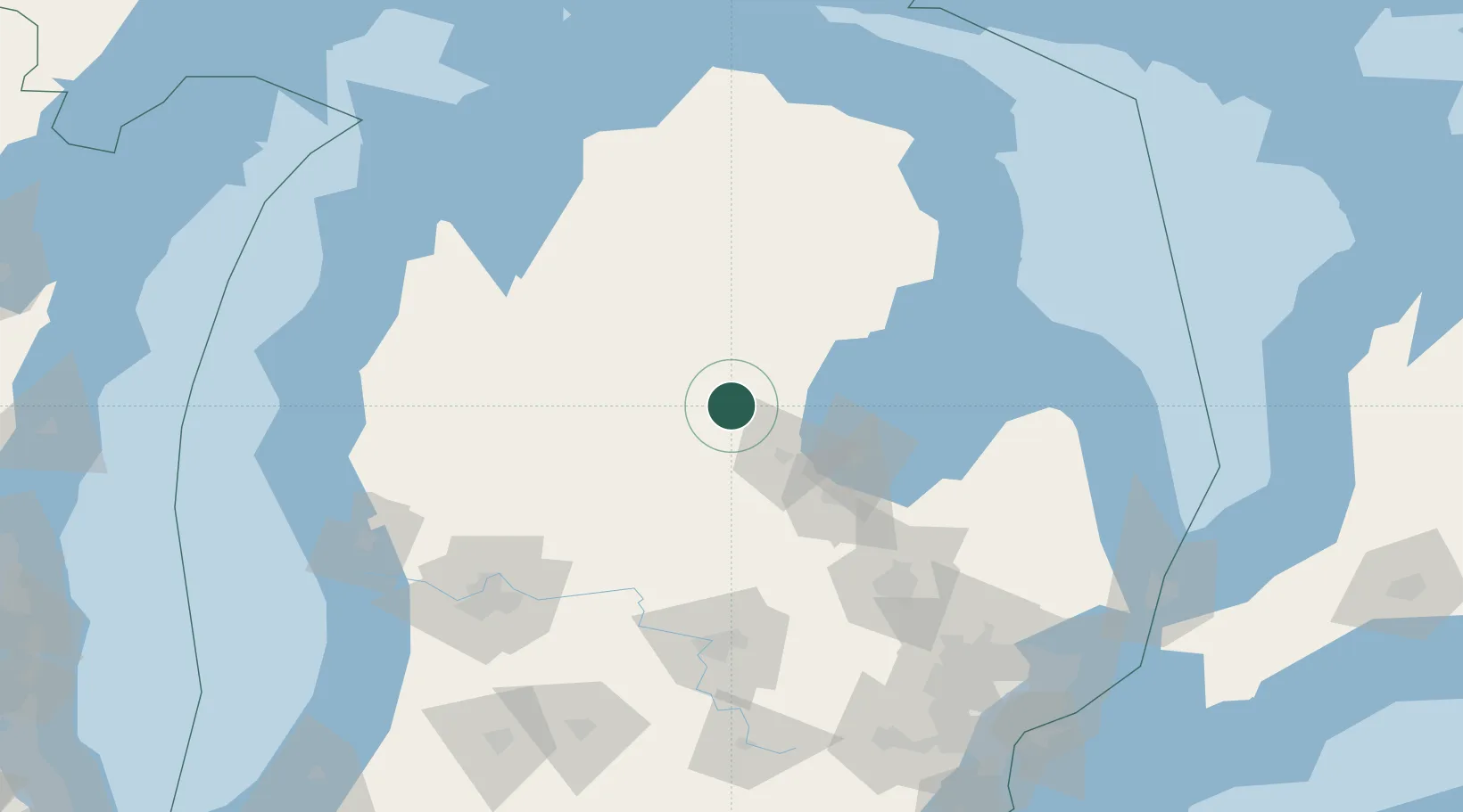
Beaverton
43.8667°, -84.4833°
1,049
Population
2
Transport functions
Transport Functions
Road
Multimodal
Hub Profile
Place type
Populated place
Region
Michigan
Population
1,049
Time zone
America/Detroit
Elevation
220 m
Location
Nearby Logistics Neighbours
Ports
- 1Bay City58 km
- 2Saginaw65 km
- 3Alabaster83 km
- 4Tawas City90 km
- 5Oscoda111 km
Airports
Trade Zones
- 1FTZ No. 284 Genesee County105 km
- 2FTZ No. 101 Clinton County105 km
- 3FTZ No. 140 Flint111 km
- 4FTZ No. 189 Kent Ottawa/Muskegon Counties162 km
- 5FTZ No. 043 Battle Creek182 km
DatabookThe Record of Consolidated Knowledge
United States beyond logistics?