Medium airport · United States
Cherry Capital AirportKTVC
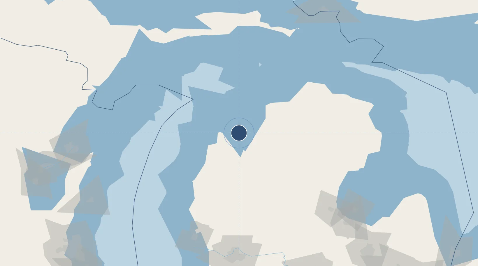
44.7414°, -85.5822°
7,016 ft
Longest runway
2
Runways
624 ft
Elevation
Runway & Layout

Radio Frequencies
ATIS
119.175 MHz
TWR
124.2 MHz
GND
121.8 MHz
CTAF
124.2 MHz
CNTR
132.9 MHz
MINNEAPOLIS CNTR
OPS
38.18 MHz
USCG TRAVERSE CITY
RDO
122.2 MHz
LANSING RDO
UNIC
122.95 MHz
UNICOM
Navaids
TV NDB Gwenn 365 kHz
TVC VORTAC Traverse City 114.60 MHz
Runways · 2
| Runway | Dimensions | Surface | True heading | Lit |
|---|---|---|---|---|
| 10/28 | 7,016 × 150ft | Asphalt | 094° | ✓ |
| 18/36 | 5,378 × 150ft | Asphalt | 180° | ✓ |
Airport Specifications
IATA code
TVC
ICAO code
KTVC
Airport class
Medium airport
Scheduled service
Yes
Runway surface
Asphalt
Served city
Traverse City
Location
Nearby Logistics Neighbours
Airports
Cities
- 1Grawn13 km
- 2Williamsburg15 km
- 3Suttons Bay26 km
- 4Thompsonville37 km
- 5Northport42 km
Ports
- 1Traverse City4 km
- 2Frankfort54 km
- 3Charlevoix69 km
- 4Manistee80 km
- 5Petoskey85 km
Trade Zones
- 1FTZ No. 189 Kent Ottawa/Muskegon Counties177 km
- 2FTZ No. 019 Omaha186 km
- 3FTZ No. 101 Clinton County211 km
- 4FTZ No. 016 Sault Ste. Marie214 km
- 5FTZ No. 167 Brown County216 km
DatabookThe Record of Consolidated Knowledge
United States beyond logistics?