Medium airport · United States

Lumberton Regional AirportKLBT
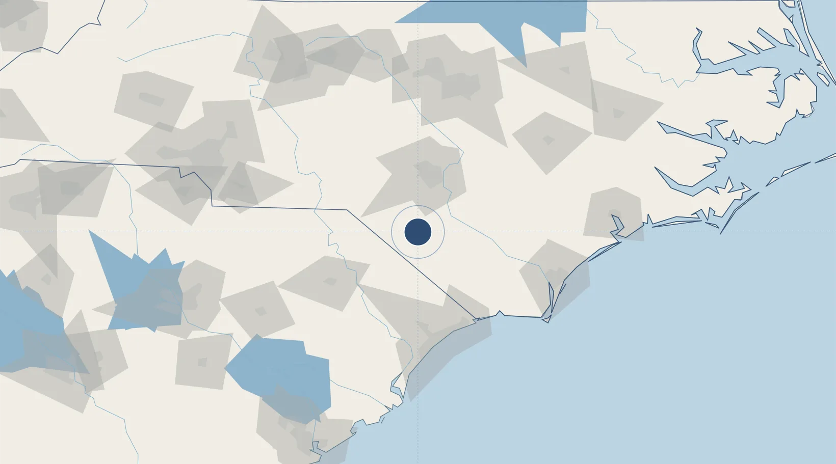
34.6108°, -79.0594°
5,505 ft
Longest runway
2
Runways
126 ft
Elevation

Runway & Layout

Lumberton Regional Airport runway & taxiway layout
Runway & taxiway layout — OpenStreetMap (ODbL) / OurAirports

Radio Frequencies

ASOS
134.775 MHz
A/D
133 MHz
FAYETTEVILLE APP/DEP
UNIC
122.8 MHz
CTAF/UNICOM
OurAirports

Runways · 2

RunwayDimensions SurfaceTrue headingLit
05/23 5,505 × 150ft Asphalt 045°
13/31 5,007 × 75ft Asphalt 125°
OurAirports

Airport Specifications

IATA code
LBT
OurAirports
ICAO code
KLBT
OurAirports
Airport class
Medium airport
OurAirports
Scheduled service
No
OurAirports
Runway surface
Asphalt
OurAirports
Served city
Lumberton
OurAirports

Location

Location of KLBT
Natural Earth 10m (public domain) · North Carolina · KLBT · 34.61, -79.06GoogleOSMYandex

Nearby Logistics Neighbours

Airports
  1. 1Fayetteville Regional Airport - Grannis Field45 km
  2. 2Simmons Army Air Field59 km
  3. 3Pope Field62 km
  4. 4Florence Regional Airport77 km
  5. 5Grand Strand Airport94 km
Nearest neighbours — logibook spatial index (haversine) over the source coordinates
Cities
  1. 1Tar Heel29 km
  2. 2Duart29 km
  3. 3Parkton33 km
  4. 4Latta45 km
  5. 5Tatum48 km
Nearest neighbours — logibook spatial index (haversine) over the source coordinates
Ports
  1. 1Wilmington110 km
  2. 2Wrightsville122 km
  3. 3Southport123 km
  4. 4Georgetown140 km
  5. 5New Bern191 km
Nearest neighbours — logibook spatial index (haversine) over the source coordinates
Trade Zones
  1. 1FTZ No. 214 Lenoir County126 km
  2. 2FTZ No. 093 Raleigh Durham145 km
  3. 3FTZ No. 057 Mecklenburg County198 km
  4. 4FTZ No. 230 Piedmont Triad Area202 km
  5. 5FTZ No. 127 West Columbia202 km
Nearest neighbours — logibook spatial index (haversine) over the source coordinates
DatabookThe Record of Consolidated Knowledge
United States beyond logistics?
Browse databook

All Sources

AirportsOurAirports
Public domain
Portsthe NGA World Port Index
Public domain (US gov)
LocationsUN/LOCODE
UN/LOCODE — free
Trade Zonesthe World Bank SEZ database
CC BY 4.0
Trade ZonesOpen Zone Map
CC BY
InfrastructureOpenStreetMap
ODbL 1.0
← United States airports