Medium airport · United States
Fayetteville Regional Airport - Grannis FieldKFAY
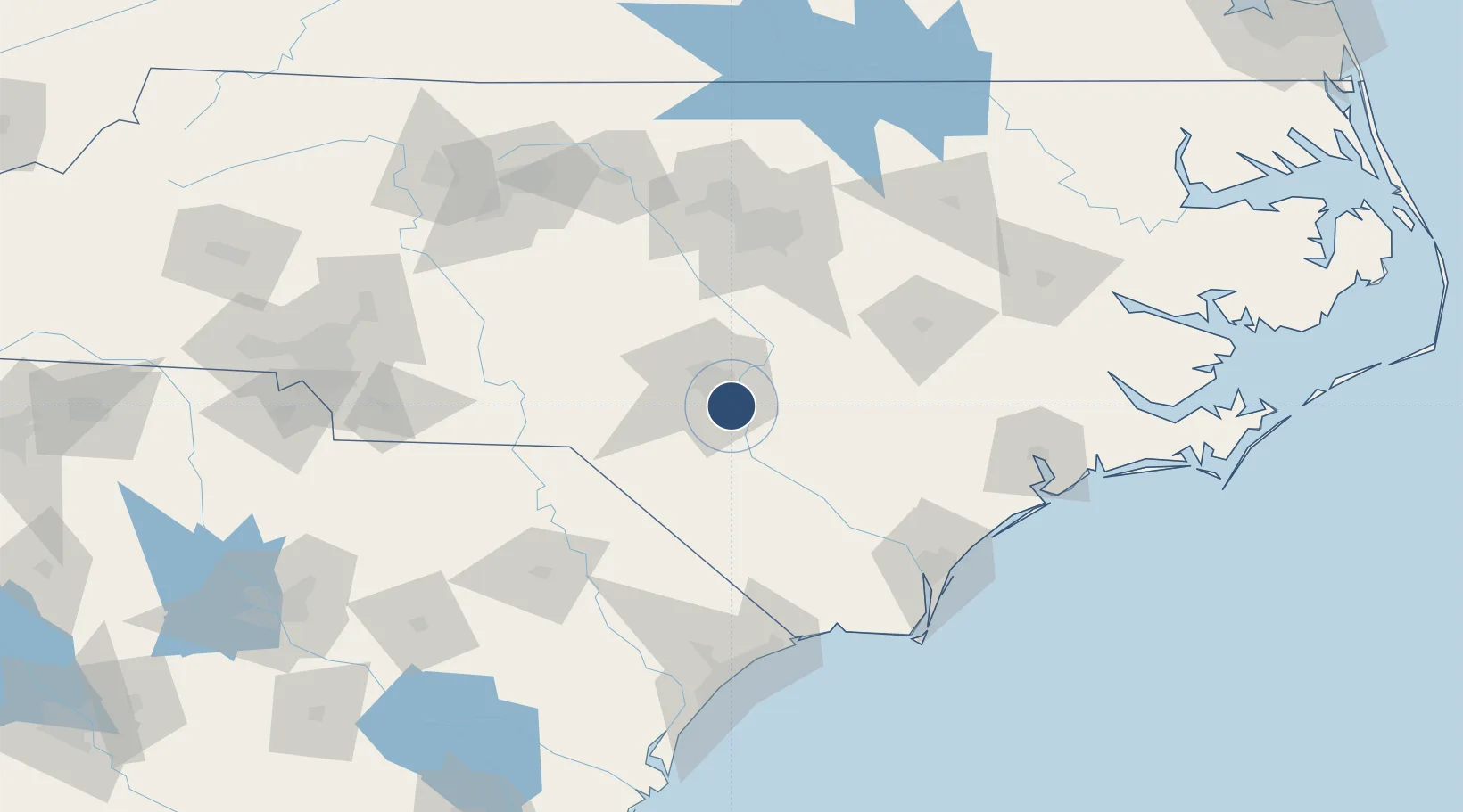
34.9912°, -78.8803°
7,709 ft
Longest runway
2
Runways
189 ft
Elevation
Runway & Layout

Radio Frequencies
ATIS
121.25 MHz
TWR
118.3 MHz
A/D
125.175 MHz
APP/DEP
GCA
121.7 MHz
GND
RDO
25.54 MHz
RALEIGH RDO
UNIC
122.95 MHz
UNICOM
Navaids
FAY VOR-DME Fayetteville 108.80 MHz
GR NDB Doone 367 kHz
Runways · 2
| Runway | Dimensions | Surface | True heading | Lit |
|---|---|---|---|---|
| 04/22 | 7,709 × 150ft | Asphalt | 031° | ✓ |
| 10/28 | 4,801 × 150ft | Asphalt | 091° | ✓ |
Airport Specifications
IATA code
FAY
ICAO code
KFAY
Airport class
Medium airport
Scheduled service
Yes
Runway surface
Asphalt
Served city
Fayetteville
Location
Nearby Logistics Neighbours
Airports
- 1Simmons Army Air Field17 km
- 2Pope Field23 km
- 3Lumberton Regional Airport45 km
- 4Johnston Regional Airport76 km
- 5Seymour Johnson Air Force Base92 km
Cities
- 1Parkton15 km
- 2Stedman17 km
- 3Spring Lake21 km
- 4Duart24 km
- 5Tar Heel30 km
Ports
- 1Wilmington120 km
- 2Wrightsville130 km
- 3Southport143 km
- 4New Bern167 km
- 5Washington177 km
Trade Zones
DatabookThe Record of Consolidated Knowledge
United States beyond logistics?