UN/LOCODE hub · United States
USRSB
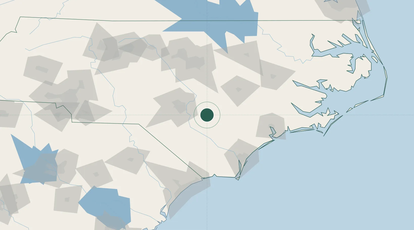
Roseboro
34.9500°, -78.5000°
1,203
Population
3
Transport functions
Transport Functions
Rail
Road
Multimodal
Hub Profile
Place type
Populated place
Region
North Carolina
Population
1,203
Time zone
America/New_York
Elevation
39 m
Location
Nearby Logistics Neighbours
Cities
- 1Stedman20 km
- 2Duart34 km
- 3Tar Heel35 km
- 4Parkton46 km
- 5Spring Lake49 km
Ports
- 1Wilmington94 km
- 2Wrightsville103 km
- 3Southport123 km
- 4New Bern133 km
- 5Washington148 km
Airports
Trade Zones
DatabookThe Record of Consolidated Knowledge
United States beyond logistics?