Medium airport · United States
Lemoore Naval Air Station (Reeves Field) AirportKNLC
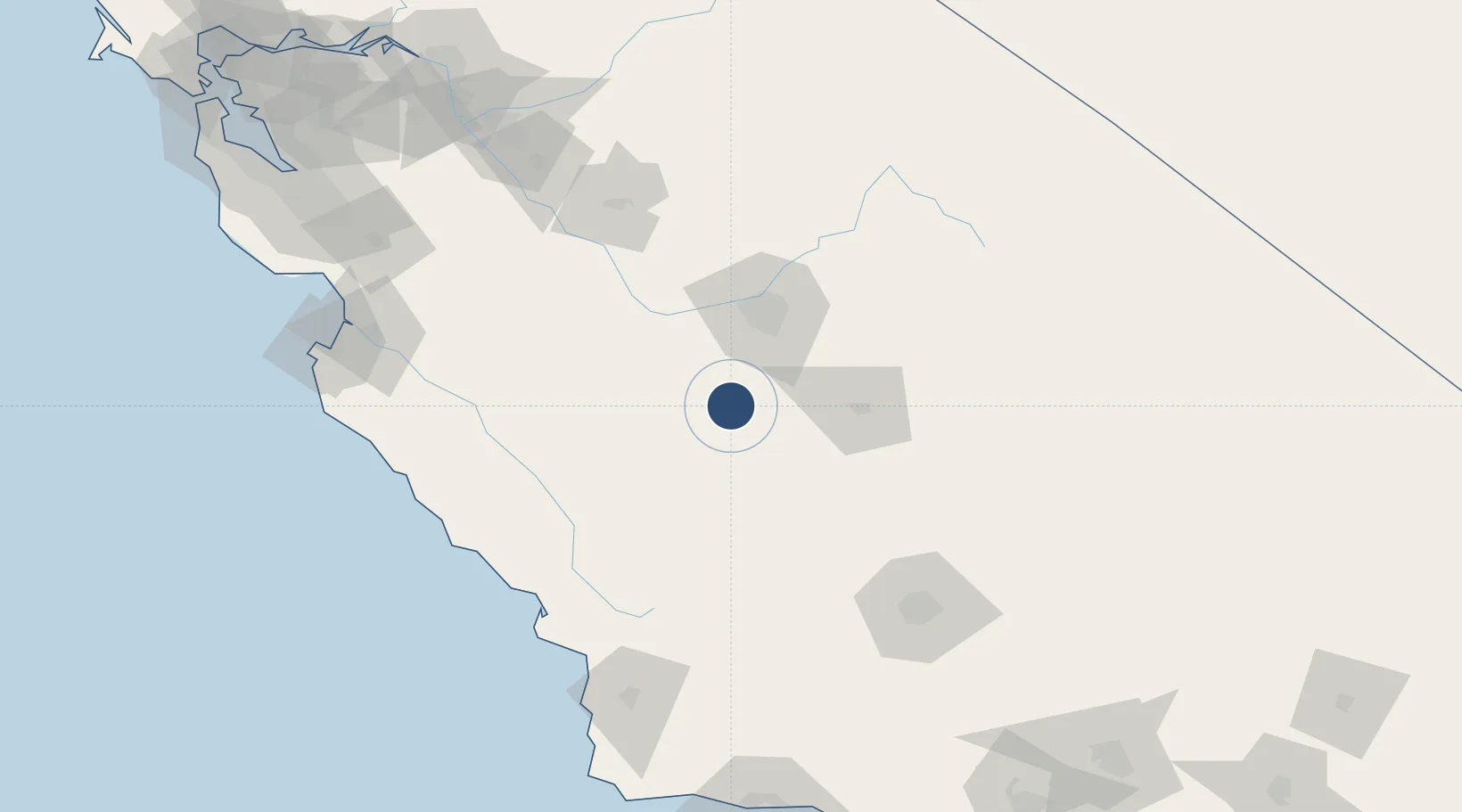
36.3330°, -119.9520°
13,502 ft
Longest runway
2
Runways
232 ft
Elevation
Runway & Layout

Radio Frequencies
ATIS
26.76 MHz
TWR
128.3 MHz
GND
121.65 MHz
CLD
124.1 MHz
CLNC DEL
APP
118.15 MHz
DEP
118.15 MHz
OPS
29.93 MHz
BASE OPS
PMSV
31.7 MHz
PMSV METRO
Runways · 2
| Runway | Dimensions | Surface | True heading | Lit |
|---|---|---|---|---|
| 14L/32R | 13,502 × 200ft | Concrete | 156° | ✓ |
| 14R/32L | 13,501 × 200ft | Concrete | 156° | ✓ |
Airport Specifications
IATA code
NLC
ICAO code
KNLC
Airport class
Medium airport
Scheduled service
No
Runway surface
Concrete
Served city
Lemoore
Location
Nearby Logistics Neighbours
Airports
Cities
- 1Huron20 km
- 2Stratford21 km
- 3Laton27 km
- 4Hanford29 km
- 5Kettleman City37 km
Ports
- 1Morro Bay135 km
- 2Pismo Beach148 km
- 3Port San Luis148 km
- 4Moss172 km
- 5Monterey176 km
Trade Zones
- 1FTZ No. 226 Merced, Madera and Fresno Counties118 km
- 2FTZ No. 276 Kern County136 km
- 3FTZ No. 018 San Jose205 km
- 4FTZ No. 231 Stockton217 km
- 5FTZ No. 205 Port Hueneme252 km
DatabookThe Record of Consolidated Knowledge
United States beyond logistics?