UN/LOCODE hub · United States
USYTS
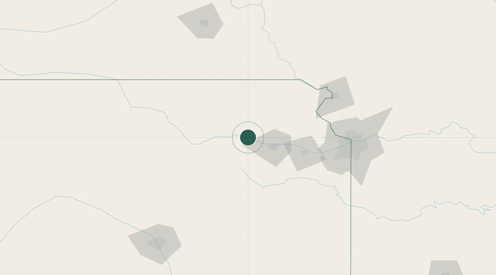
Saint Marys
39.1833°, -96.0667°
2,627
Population
2
Transport functions
Transport Functions
Road
Multimodal
Hub Profile
Place type
Populated place
Region
Kansas
Population
2,627
Time zone
America/Chicago
Elevation
291 m
Location
Nearby Logistics Neighbours
Ports
- 1Port Of Memphis695 km
- 2Kaukauna860 km
- 3Green Bay892 km
- 4Superior900 km
- 5Duluth903 km
Airports
Trade Zones
- 1FTZ No. 017 Kansas City105 km
- 2FTZ No. 015 Kansas City108 km
- 3FTZ No. 133 Quad-Cities, Iowa Illinois110 km
- 4FTZ No. 059 Lincoln191 km
- 5FTZ No. 161 Sedgwick County222 km
DatabookThe Record of Consolidated Knowledge
United States beyond logistics?