Transport Functions
Rail
Road
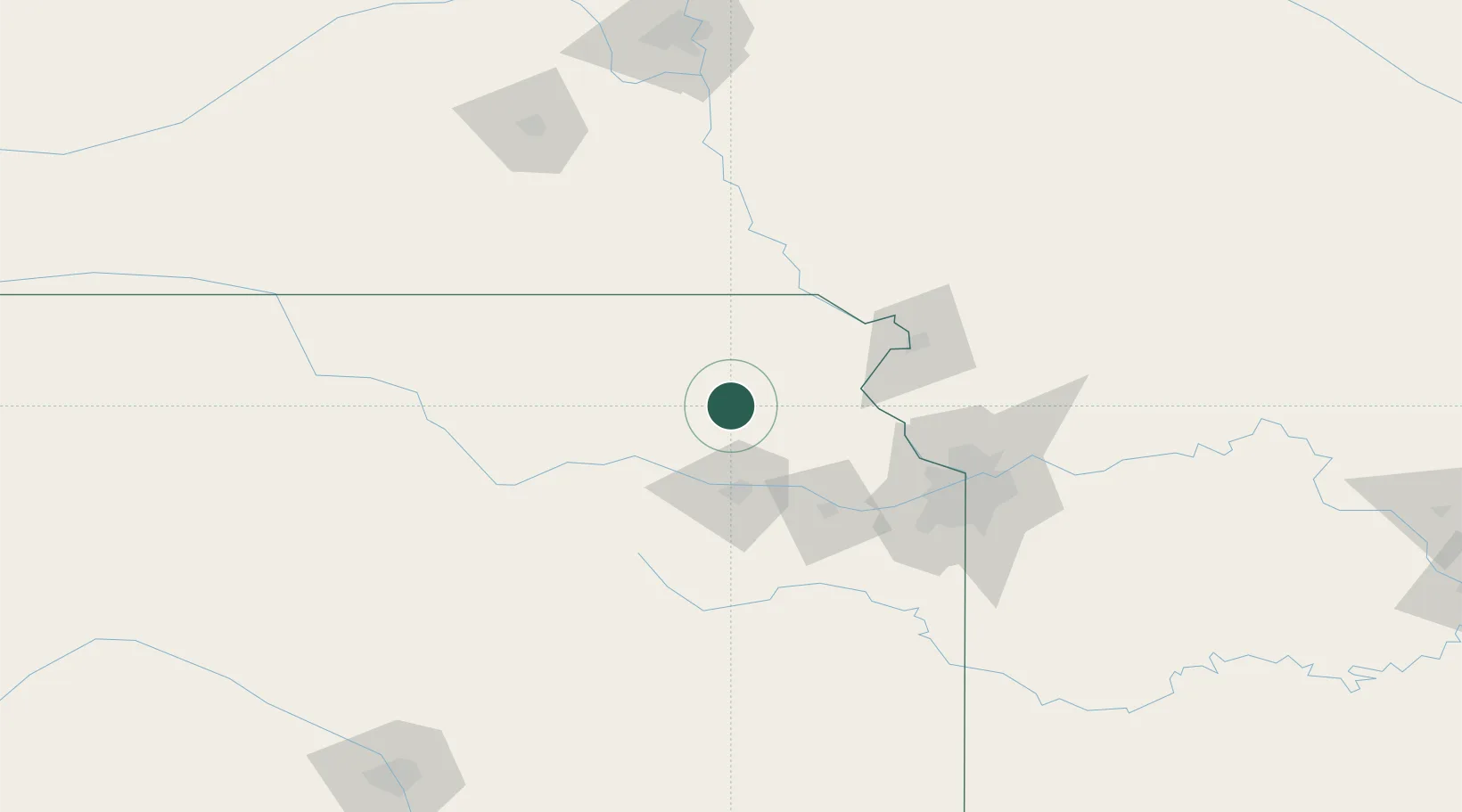
Hub Profile
Place type
Provincial seat
Region
Kansas
Population
3,263
Time zone
America/Chicago
Elevation
333 m
Location
Nearby Logistics Neighbours
Cities
- 1Meriden35 km
- 2Nortonville35 km
- 3Rossville42 km
- 4Saint Marys43 km
- 5Centralia43 km
Ports
- 1Port Of Memphis694 km
- 2Great Lakes735 km
- 3Chicago736 km
- 4Wilmette737 km
- 5Calumet Harbor738 km
Airports
Trade Zones
- 1FTZ No. 017 Kansas City86 km
- 2FTZ No. 133 Quad-Cities, Iowa Illinois91 km
- 3FTZ No. 015 Kansas City100 km
- 4FTZ No. 059 Lincoln175 km
- 5FTZ No. 161 Sedgwick County264 km
DatabookThe Record of Consolidated Knowledge
United States beyond logistics?