Medium airport · United States
Topeka Regional AirportKFOE
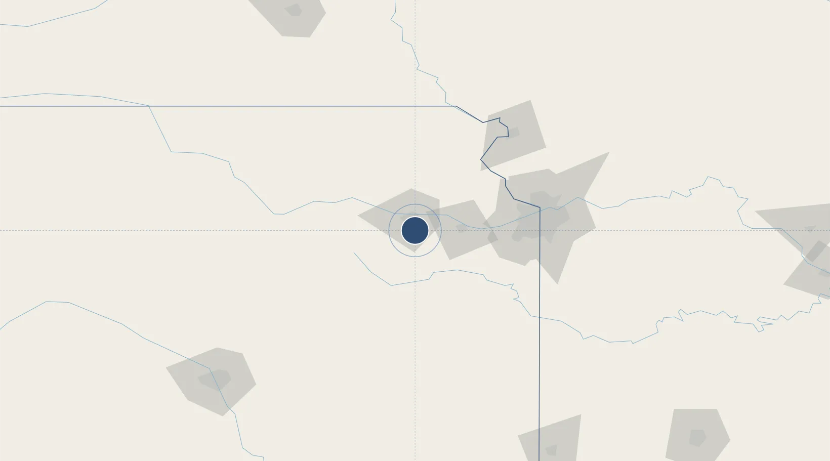
38.9509°, -95.6636°
12,803 ft
Longest runway
2
Runways
1,078 ft
Elevation
Runway & Layout

Radio Frequencies
ATIS
128.25 MHz
TWR
120.8 MHz
GND
121.7 MHz
CTAF
120.8 MHz
A/D
123.8 MHz
KANSAS CITY CNTR
MISC
41.7 MHz
ARNG OPS
OPS
28.65 MHz
ANG OPS
RDO
122.45 MHz
WICHITA RDO
UNIC
122.95 MHz
UNICOM
Navaids
FO NDB Riply 326 kHz
FOE TACAN Forbes 111.60 MHz
TOP VORTAC Topeka 117.80 MHz
Runways · 2
| Runway | Dimensions | Surface | True heading | Lit |
|---|---|---|---|---|
| 13/31 | 12,803 × 150ft | Concrete | 137° | ✓ |
| 03/21 | 7,002 × 150ft | Concrete | 040° | ✓ |
Airport Specifications
IATA code
FOE
ICAO code
KFOE
Airport class
Medium airport
Scheduled service
No
Runway surface
Concrete
Served city
Topeka
Location
Nearby Logistics Neighbours
Airports
Cities
- 1Meriden27 km
- 2Rossville32 km
- 3Lyndon39 km
- 4Oskaloosa42 km
- 5Saint Marys43 km
Ports
- 1Port Of Memphis652 km
- 2Chicago756 km
- 3Calumet Harbor756 km
- 4Great Lakes758 km
- 5Wilmette759 km
Trade Zones
- 1FTZ No. 015 Kansas City68 km
- 2FTZ No. 017 Kansas City72 km
- 3FTZ No. 133 Quad-Cities, Iowa Illinois145 km
- 4FTZ No. 059 Lincoln229 km
- 5FTZ No. 161 Sedgwick County230 km
DatabookThe Record of Consolidated Knowledge
United States beyond logistics?