Medium airport · United States
Philip Billard Municipal AirportKTOP
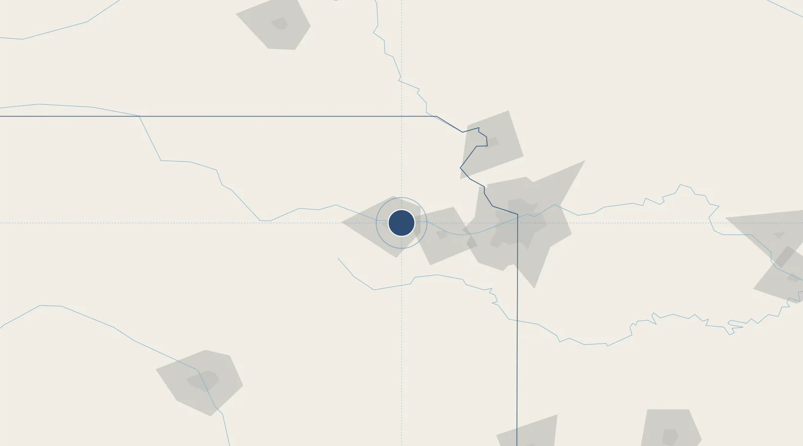
39.0699°, -95.6226°
5,099 ft
Longest runway
3
Runways
881 ft
Elevation
Runway & Layout

Radio Frequencies
ASOS
121.275 MHz
TWR
118.7 MHz
TOPEKA TWR
GND
121.9 MHz
CLD
121.9 MHz
CLNC DEL
CTAF
118.7 MHz
CNTR
123.8 MHz
KANSAS CITY CNTR
RDO
122.45 MHz
WICHITA RDO
UNIC
122.95 MHz
UNICOM
Runways · 3
| Runway | Dimensions | Surface | True heading | Lit |
|---|---|---|---|---|
| 13/31 | 5,099 × 100ft | Asphalt | 134° | ✓ |
| 18/36 | 4,331 × 75ft | Asphalt | 182° | ✓ |
| 04/22 | 3,002 × 100ft | Asphalt | 049° | ✓ |
Airport Specifications
IATA code
TOP
ICAO code
KTOP
Airport class
Medium airport
Scheduled service
No
Runway surface
Asphalt
Served city
Topeka
Location
Nearby Logistics Neighbours
Airports
Cities
- 1Meriden14 km
- 2Rossville29 km
- 3Oskaloosa31 km
- 4Saint Marys40 km
- 5Holton45 km
Ports
- 1Port Of Memphis657 km
- 2Chicago747 km
- 3Calumet Harbor747 km
- 4Great Lakes748 km
- 5Wilmette749 km
Trade Zones
- 1FTZ No. 017 Kansas City66 km
- 2FTZ No. 015 Kansas City68 km
- 3FTZ No. 133 Quad-Cities, Iowa Illinois134 km
- 4FTZ No. 059 Lincoln218 km
- 5FTZ No. 161 Sedgwick County241 km
DatabookThe Record of Consolidated Knowledge
United States beyond logistics?