UN/LOCODE hub · United States
USRI3
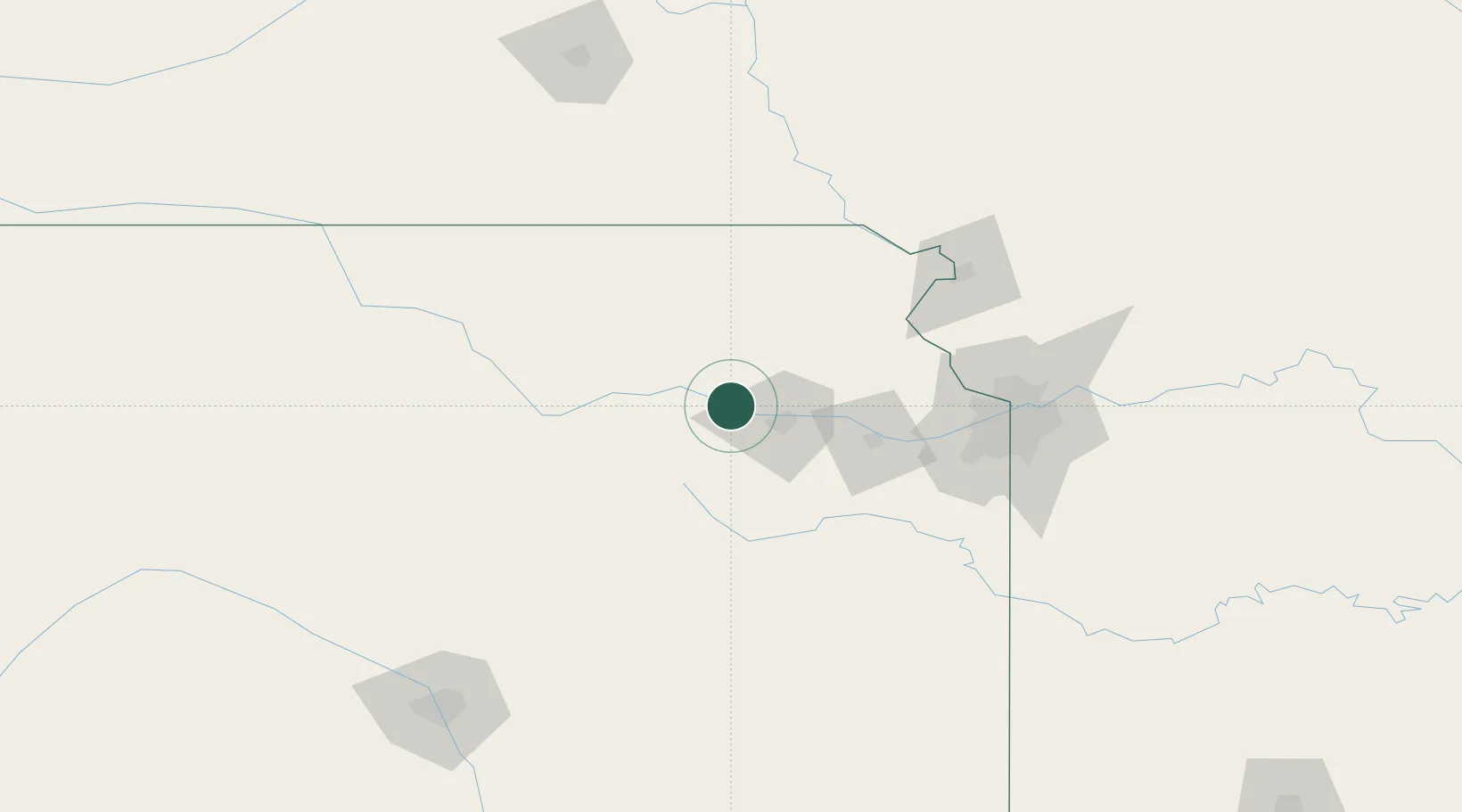
Rossville
39.1333°, -95.9500°
1,137
Population
2
Transport functions
Transport Functions
Road
Multimodal
Hub Profile
Place type
Populated place
Region
Kansas
Population
1,137
Time zone
America/Chicago
Elevation
283 m
Location
Nearby Logistics Neighbours
Cities
- 1Saint Marys12 km
- 2Meriden34 km
- 3Holton42 km
- 4Oskaloosa57 km
- 5Nortonville62 km
Ports
- 1Port Of Memphis684 km
- 2Chicago769 km
- 3Great Lakes769 km
- 4Calumet Harbor770 km
- 5Wilmette771 km
Airports
Trade Zones
- 1FTZ No. 017 Kansas City95 km
- 2FTZ No. 015 Kansas City97 km
- 3FTZ No. 133 Quad-Cities, Iowa Illinois117 km
- 4FTZ No. 059 Lincoln200 km
- 5FTZ No. 161 Sedgwick County225 km
DatabookThe Record of Consolidated Knowledge
United States beyond logistics?