Transport Functions
Road
Multimodal
Hub Profile
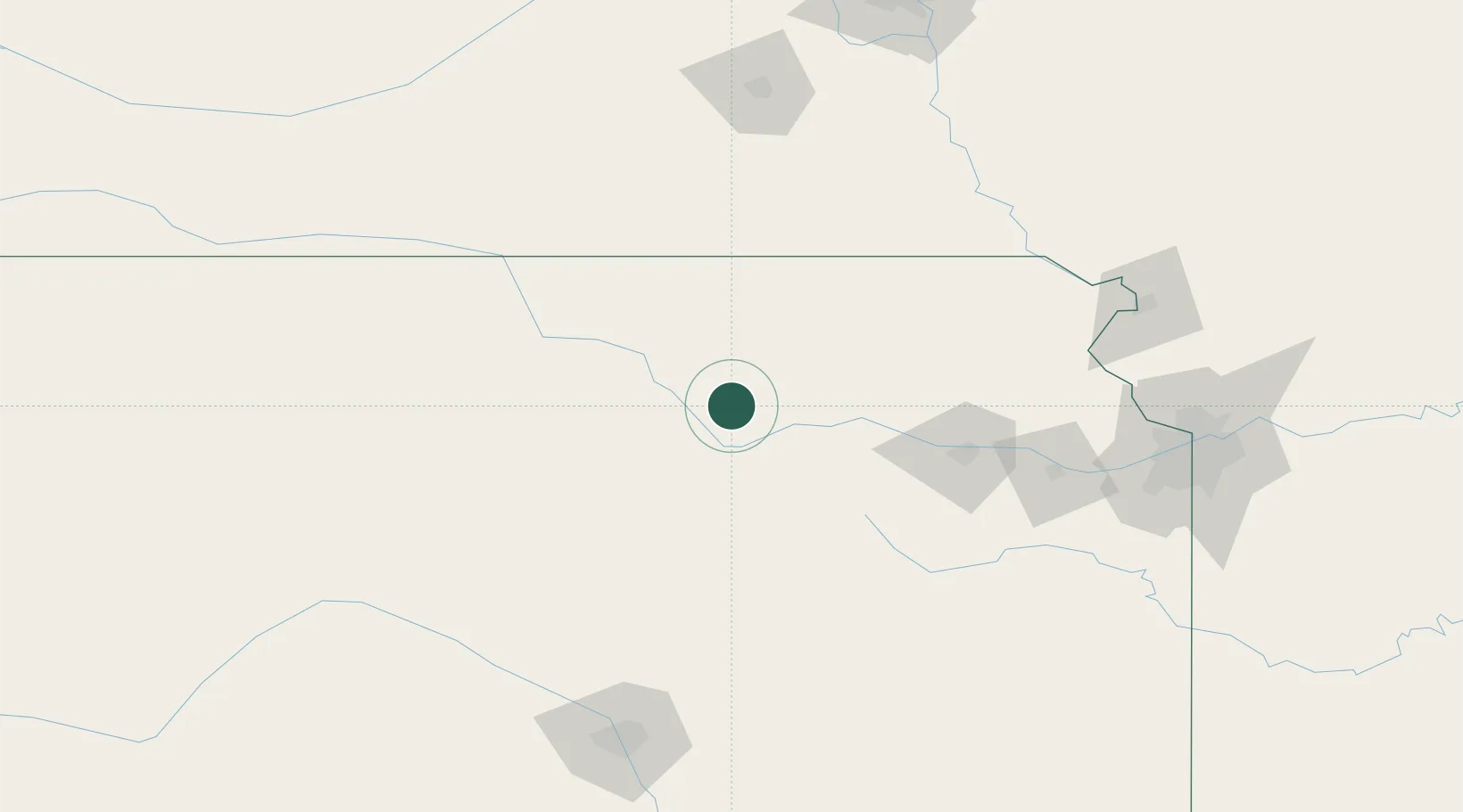
Place type
Populated place
Region
Kansas
Population
994
Time zone
America/Chicago
Elevation
393 m
Location
Nearby Logistics Neighbours
Cities
- 1Chapman39 km
- 2Waterville45 km
- 3Washington63 km
- 4Saint Marys66 km
- 5Herkimer68 km
Ports
- 1Port Of Memphis753 km
- 2Kaukauna900 km
- 3Superior914 km
- 4Duluth916 km
- 5Green Bay931 km
Airports
- 1Manhattan Regional Airport20 km
- 2Marshall Army Air Field26 km
- 3Salina Municipal Airport91 km
- 4Philip Billard Municipal Airport106 km
- 5Topeka Regional Airport106 km
Trade Zones
- 1FTZ No. 133 Quad-Cities, Iowa Illinois105 km
- 2FTZ No. 059 Lincoln169 km
- 3FTZ No. 017 Kansas City170 km
- 4FTZ No. 015 Kansas City173 km
- 5FTZ No. 161 Sedgwick County195 km
DatabookThe Record of Consolidated Knowledge
United States beyond logistics?