Transport Functions
Rail
Road
Hub Profile
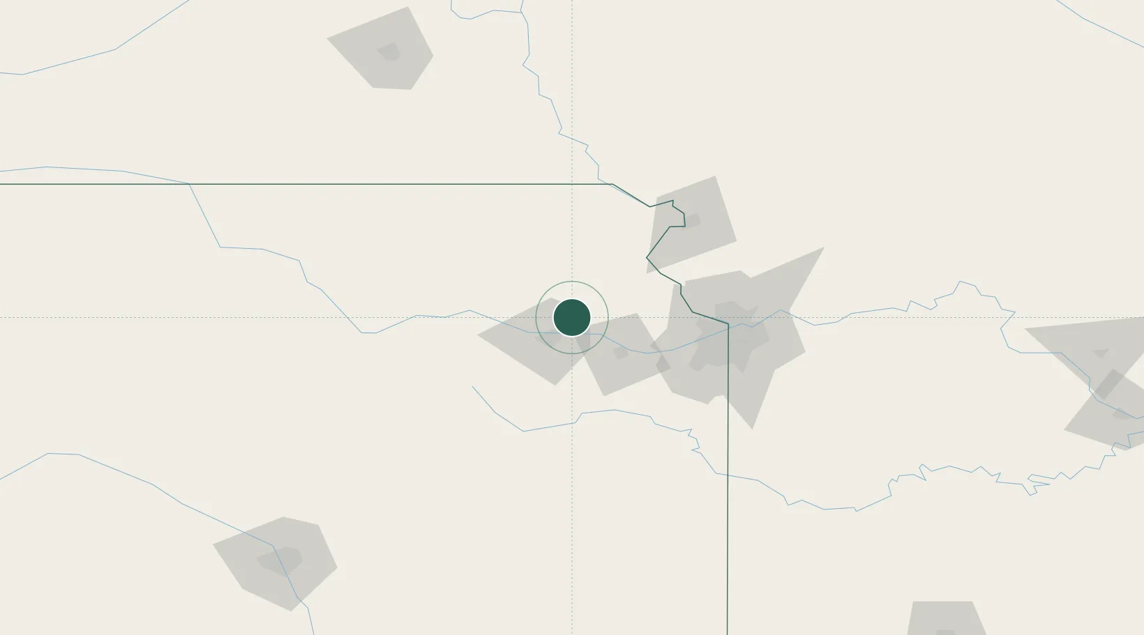
Place type
Populated place
Region
Kansas
Population
790
Time zone
America/Chicago
Elevation
297 m
Location
Nearby Logistics Neighbours
Cities
- 1Oskaloosa23 km
- 2Nortonville33 km
- 3Rossville34 km
- 4Holton35 km
- 5Tonganoxie41 km
Ports
- 1Port Of Memphis662 km
- 2Chicago737 km
- 3Calumet Harbor737 km
- 4Great Lakes738 km
- 5Wilmette739 km
Airports
Trade Zones
- 1FTZ No. 017 Kansas City62 km
- 2FTZ No. 015 Kansas City69 km
- 3FTZ No. 133 Quad-Cities, Iowa Illinois125 km
- 4FTZ No. 059 Lincoln210 km
- 5FTZ No. 161 Sedgwick County253 km
DatabookThe Record of Consolidated Knowledge
United States beyond logistics?