Large airport · United States

Kansas City International AirportKMCI
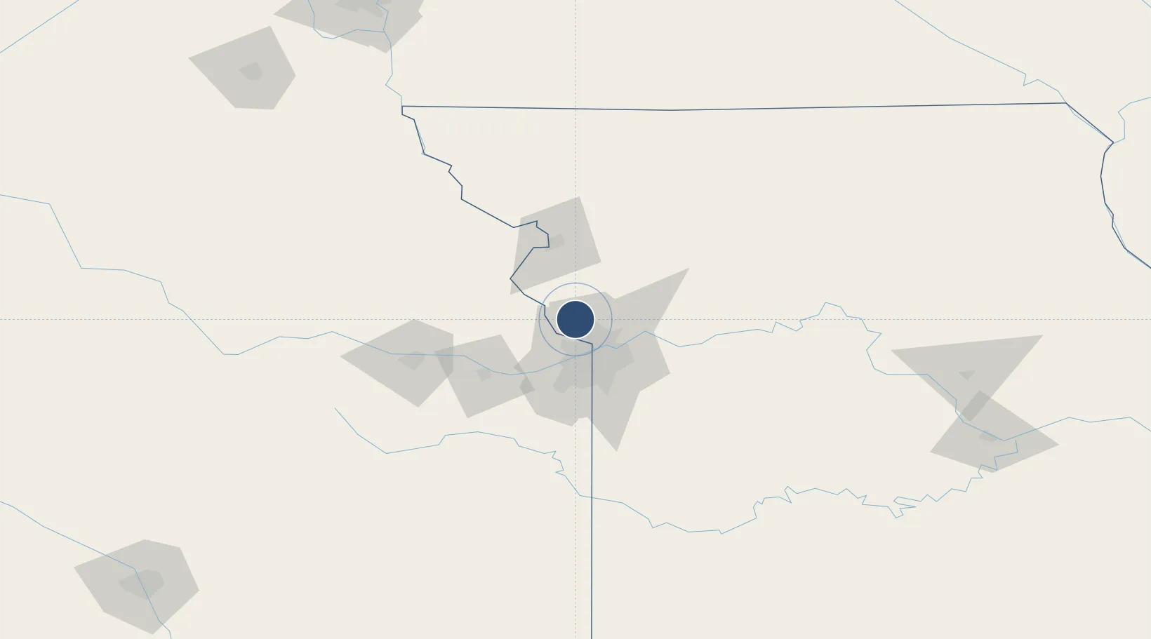
39.3017°, -94.7139°
10,801 ft
Longest runway
3
Runways
1,026 ft
Elevation

Runway & Layout

Kansas City International Airport runway & taxiway layout
Runway & taxiway layout — OpenStreetMap (ODbL) / OurAirports

Radio Frequencies

ATIS
126.625 MHz
TWR
125.75 MHz
INTL TWR
GND
121.65 MHz
CLD
135.7 MHz
CLNC DEL
APP
120.95 MHz
DEP
124.7 MHz
RDO
122.65 MHz
COLUMBIA RDO
UNIC
122.95 MHz
UNICOM
OurAirports

Navaids

DO NDB Dotte 359 kHz
DY NDB Lexey 275 kHz
OurAirports

Runways · 3

RunwayDimensions SurfaceTrue headingLit
01L/19R 10,801 × 150ft Concrete 013°
09/27 9,501 × 150ft Asphalt 096°
01R/19L 9,500 × 150ft Concrete 013°
OurAirports

Airport Specifications

IATA code
MCI
OurAirports
ICAO code
KMCI
OurAirports
Airport class
Large airport
OurAirports
Scheduled service
Yes
OurAirports
Runway surface
Concrete
OurAirports
Served city
Kansas City
OurAirports

Location

Location of KMCI
Natural Earth 10m (public domain) · Missouri · KMCI · 39.30, -94.71GoogleOSMYandex

Nearby Logistics Neighbours

Airports
  1. 1Charles B. Wheeler Downtown Airport22 km
  2. 2Rosecrans Memorial Airport55 km
  3. 3Philip Billard Municipal Airport83 km
  4. 4Topeka Regional Airport91 km
  5. 5Whiteman Air Force Base119 km
Nearest neighbours — logibook spatial index (haversine) over the source coordinates
Cities
  1. 1Platte7 km
  2. 2Parkville12 km
  3. 3Gladstone16 km
  4. 4Northmoor16 km
  5. 5Riverside18 km
Nearest neighbours — logibook spatial index (haversine) over the source coordinates
Ports
  1. 1Port Of Memphis620 km
  2. 2Chicago665 km
  3. 3Calumet Harbor666 km
  4. 4Great Lakes668 km
  5. 5Wilmette668 km
Nearest neighbours — logibook spatial index (haversine) over the source coordinates
Trade Zones
  1. 1FTZ No. 017 Kansas City26 km
  2. 2FTZ No. 015 Kansas City54 km
  3. 3FTZ No. 133 Quad-Cities, Iowa Illinois167 km
  4. 4FTZ No. 059 Lincoln245 km
  5. 5FTZ No. 225 Springfield271 km
Nearest neighbours — logibook spatial index (haversine) over the source coordinates
DatabookThe Record of Consolidated Knowledge
United States beyond logistics?
Browse databook

All Sources

AirportsOurAirports
Public domain
Portsthe NGA World Port Index
Public domain (US gov)
LocationsUN/LOCODE
UN/LOCODE — free
Trade Zonesthe World Bank SEZ database
CC BY 4.0
Trade ZonesOpen Zone Map
CC BY
InfrastructureOpenStreetMap
ODbL 1.0
← United States airports