UN/LOCODE hub · United States
USYKV
Pickensville
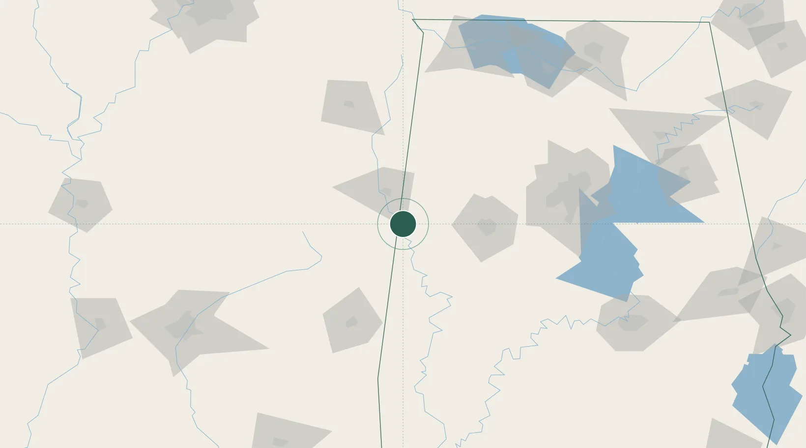
33.2333°, -88.2667°
581
Population
3
Transport functions
Transport Functions
Rail
Road
Multimodal
Hub Profile
Place type
Populated place
Region
Alabama
Population
581
Time zone
America/Chicago
Elevation
70 m
Location
Nearby Logistics Neighbours
Cities
- 1Carrollton17 km
- 2Reform29 km
- 3Brooksville30 km
- 4Millport40 km
- 5Artesia41 km
Ports
- 1Port Of Memphis269 km
- 2Mobile284 km
- 3Pascagoula322 km
- 4Biloxi322 km
- 5Gulfport330 km
Airports
Trade Zones
- 1FTZ No. 098 Birmingham139 km
- 2FTZ No. 265 Conroe (Montgomery County)200 km
- 3FTZ No. 270 Lawrence County200 km
- 4FTZ No. 222 Montgomery206 km
- 5FTZ No. 083 Huntsville209 km
DatabookThe Record of Consolidated Knowledge
United States beyond logistics?