Transport Functions
Port
Rail
Road
Hub Profile
Place type
Populated place
Region
Alabama
Population
998
Time zone
America/Chicago
Elevation
84 m
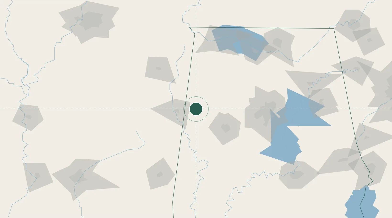
Location
Nearby Logistics Neighbours
Cities
- 1Reform19 km
- 2Vernon23 km
- 3Carrollton33 km
- 4Stewart39 km
- 5Pickensville40 km
Ports
- 1Port Of Memphis256 km
- 2Mobile319 km
- 3Pascagoula359 km
- 4Pensacola359 km
- 5Biloxi360 km
Airports
Trade Zones
- 1FTZ No. 098 Birmingham116 km
- 2FTZ No. 265 Conroe (Montgomery County)161 km
- 3FTZ No. 270 Lawrence County161 km
- 4FTZ No. 083 Huntsville171 km
- 5FTZ No. 222 Montgomery210 km
DatabookThe Record of Consolidated Knowledge
United States beyond logistics?