Medium airport · United States
Key Field / Meridian Regional AirportKMEI
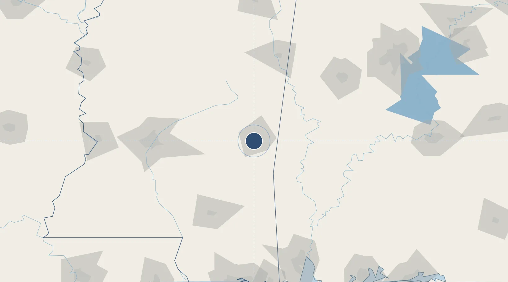
32.3326°, -88.7519°
10,003 ft
Longest runway
2
Runways
297 ft
Elevation
Runway & Layout

Radio Frequencies
ATIS
126.475 MHz
TWR
119.8 MHz
GND
121.9 MHz
CTAF
119.8 MHz
A/D
120.5 MHz
MERIDIAN APP/DEP
GCA
125.125 MHz
POST
29.23 MHz
ANG OPS COMD POST
RDO
122.2 MHz
GREENWOOD RDO
UNIC
122.95 MHz
UNICOM
Navaids
ME NDB Savoy 356 kHz
MEI VORTAC Meridian 117.00 MHz
Runways · 2
| Runway | Dimensions | Surface | True heading | Lit |
|---|---|---|---|---|
| 01/19 | 10,003 × 150ft | Asphalt | 009° | ✓ |
| 04/22 | 5,052 × 150ft | Asphalt | 044° | ✓ |
Airport Specifications
IATA code
MEI
ICAO code
KMEI
Airport class
Medium airport
Scheduled service
Yes
Runway surface
Asphalt
Served city
Meridian
Location
Nearby Logistics Neighbours
Airports
Cities
- 1Pachuta36 km
- 2Newton37 km
- 3Shubuta52 km
- 4Coldwater59 km
- 5Pennington68 km
Ports
- 1Mobile193 km
- 2Biloxi217 km
- 3Pascagoula221 km
- 4Gulfport223 km
- 5Slidell250 km
Trade Zones
- 1FTZ No. 158 Vicksburg Jackson191 km
- 2FTZ No. 082 Mobile193 km
- 3FTZ No. 092 Harrison County214 km
- 4FTZ No. 098 Birmingham224 km
- 5FTZ No. 222 Montgomery229 km
DatabookThe Record of Consolidated Knowledge
United States beyond logistics?