Medium airport · United States
Tuscaloosa National AirportKTCL
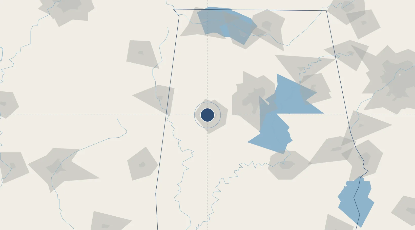
33.2206°, -87.6114°
6,498 ft
Longest runway
2
Runways
170 ft
Elevation
Runway & Layout

Radio Frequencies
ASOS
132.825 MHz
TWR
126.3 MHz
GND
121.8 MHz
CTAF
126.3 MHz
A/D
120.15 MHz
BIRMINGHAM APP/DEP
RDO
122.2 MHz
ANNISTON RDO
UNIC
122.95 MHz
UNICOM
Navaids
LDK VORTAC Crimson 117.80 MHz
TC NDB Tuske 362 kHz
Runways · 2
| Runway | Dimensions | Surface | True heading | Lit |
|---|---|---|---|---|
| 04/22 | 6,498 × 150ft | Asphalt | 041° | ✓ |
| 12/30 | 4,000 × 100ft | Asphalt | 117° | ✓ |
Airport Specifications
IATA code
TCL
ICAO code
KTCL
Airport class
Medium airport
Scheduled service
No
Runway surface
Asphalt
Served city
Tuscaloosa
Location
Nearby Logistics Neighbours
Airports
Cities
- 1Cottondale15 km
- 2Stewart37 km
- 3Reform42 km
- 4Woodstock43 km
- 5Carrollton44 km
Ports
- 1Mobile286 km
- 2Port Of Memphis312 km
- 3Pensacola316 km
- 4Pascagoula332 km
- 5Biloxi338 km
Trade Zones
- 1FTZ No. 098 Birmingham81 km
- 2FTZ No. 222 Montgomery154 km
- 3FTZ No. 270 Lawrence County170 km
- 4FTZ No. 265 Conroe (Montgomery County)171 km
- 5FTZ No. 083 Huntsville177 km
DatabookThe Record of Consolidated Knowledge
United States beyond logistics?