Transport Functions
Rail
Road
Hub Profile
Place type
Populated place
Region
Alabama
Population
1,632
Time zone
America/Chicago
Elevation
73 m
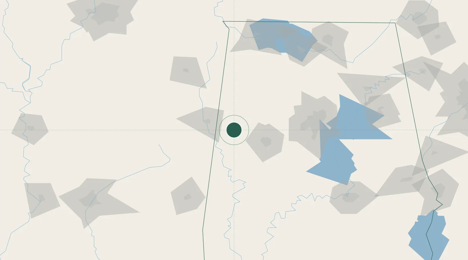
Location
Nearby Logistics Neighbours
Cities
- 1Carrollton16 km
- 2Millport19 km
- 3Pickensville29 km
- 4Vernon42 km
- 5Berry50 km
Ports
- 1Port Of Memphis272 km
- 2Mobile300 km
- 3Pensacola340 km
- 4Pascagoula341 km
- 5Biloxi344 km
Airports
Trade Zones
- 1FTZ No. 098 Birmingham113 km
- 2FTZ No. 265 Conroe (Montgomery County)173 km
- 3FTZ No. 270 Lawrence County173 km
- 4FTZ No. 083 Huntsville182 km
- 5FTZ No. 222 Montgomery195 km
DatabookThe Record of Consolidated Knowledge
United States beyond logistics?