Transport Functions
Rail
Road
Hub Profile
Place type
Populated place
Region
Mississippi
Population
431
Time zone
America/Chicago
Elevation
70 m
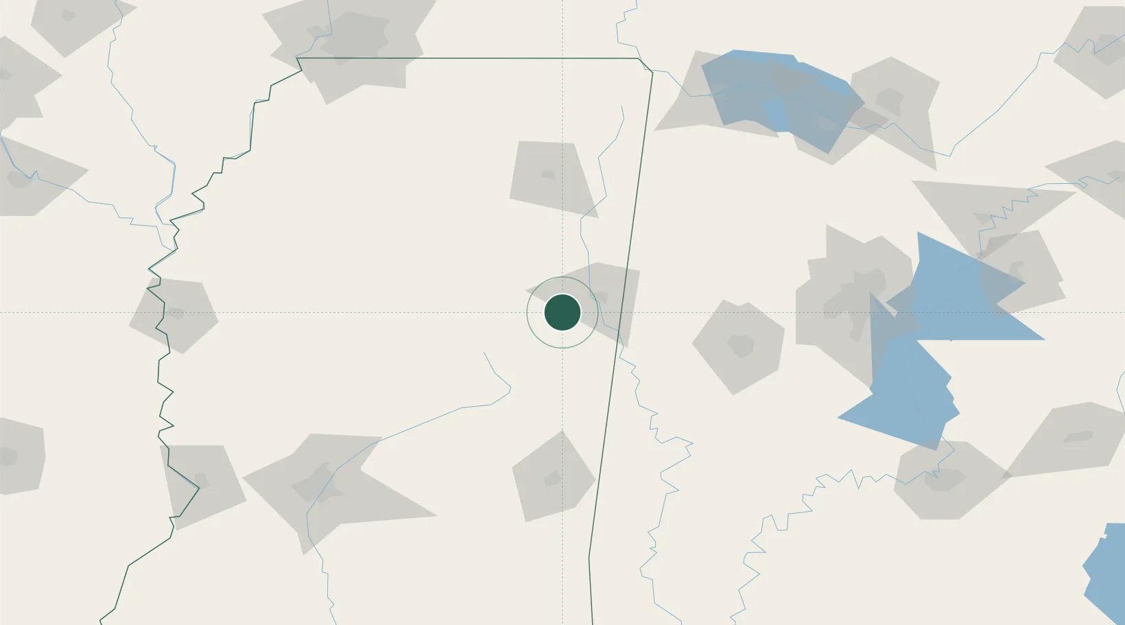
Location
Nearby Logistics Neighbours
Cities
- 1Mayhew8 km
- 2Brooksville21 km
- 3Pickensville41 km
- 4Prairie43 km
- 5Aberdeen45 km
Ports
- 1Port Of Memphis230 km
- 2Mobile308 km
- 3Biloxi338 km
- 4Pascagoula341 km
- 5Gulfport343 km
Airports
Trade Zones
- 1FTZ No. 098 Birmingham171 km
- 2FTZ No. 265 Conroe (Montgomery County)209 km
- 3FTZ No. 270 Lawrence County210 km
- 4FTZ No. 262 Southaven213 km
- 5FTZ No. 083 Huntsville221 km
DatabookThe Record of Consolidated Knowledge
United States beyond logistics?