Foreign Trade Zone · United States

FTZ No. 265 Conroe (Montgomery County) Active
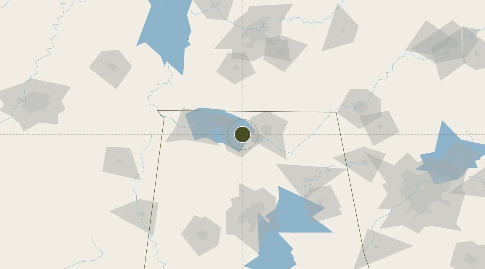
34.6628°, -86.9569°
296.3 km
Nearest port
17.0 km
Nearest airport

Gateway access

Nearest neighbours — logibook spatial index (haversine) over the source coordinates

Zone profile

Zone type
Foreign Trade Zone
Open Zone Map
Region
Alabama
Open Zone Map
Status
Active
Open Zone Map
Management
Public
Open Zone Map
Operator
City of Conroe
Open Zone Map
Legal framework
Foreign-Trade Zones Act
Open Zone Map

Location

Location of ozm-4854
Natural Earth 10m (public domain) · Alabama · ozm-4854 · 34.66, -86.96GoogleOSMYandex

Nearby Logistics Neighbours

Ports
  1. 1Port Of Memphis296 km
  2. 2Mobile456 km
  3. 3Pensacola475 km
  4. 4Pascagoula503 km
  5. 5Biloxi509 km
Nearest neighbours — logibook spatial index (haversine) over the source coordinates
Airports
  1. 1Huntsville International Airport17 km
  2. 2Redstone Army Air Field25 km
  3. 3Northwest Alabama Regional Airport61 km
  4. 4Birmingham-Shuttlesworth International Airport124 km
  5. 5Smyrna Airport155 km
Nearest neighbours — logibook spatial index (haversine) over the source coordinates
Cities
  1. 1Tanner8 km
  2. 2Belle Mina8 km
  3. 3Hillsboro, Lawrence21 km
  4. 4Rainbow23 km
  5. 5Georgia24 km
Nearest neighbours — logibook spatial index (haversine) over the source coordinates
Trade Zones
  1. 1FTZ No. 270 Lawrence County5 km
  2. 2FTZ No. 083 Huntsville18 km
  3. 3FTZ No. 098 Birmingham128 km
  4. 4FTZ No. 134 Chattanooga152 km
  5. 5FTZ No. 078 Nashville170 km
Nearest neighbours — logibook spatial index (haversine) over the source coordinates
DatabookThe Record of Consolidated Knowledge
United States beyond logistics?
Browse databook

All Sources

Trade ZonesOpen Zone Map
CC BY
Portsthe NGA World Port Index
Public domain (US gov)
AirportsOurAirports
Public domain
LocationsUN/LOCODE
UN/LOCODE — free
← United States trade zones