Medium airport · United States
Golden Triangle Regional AirportKGTR
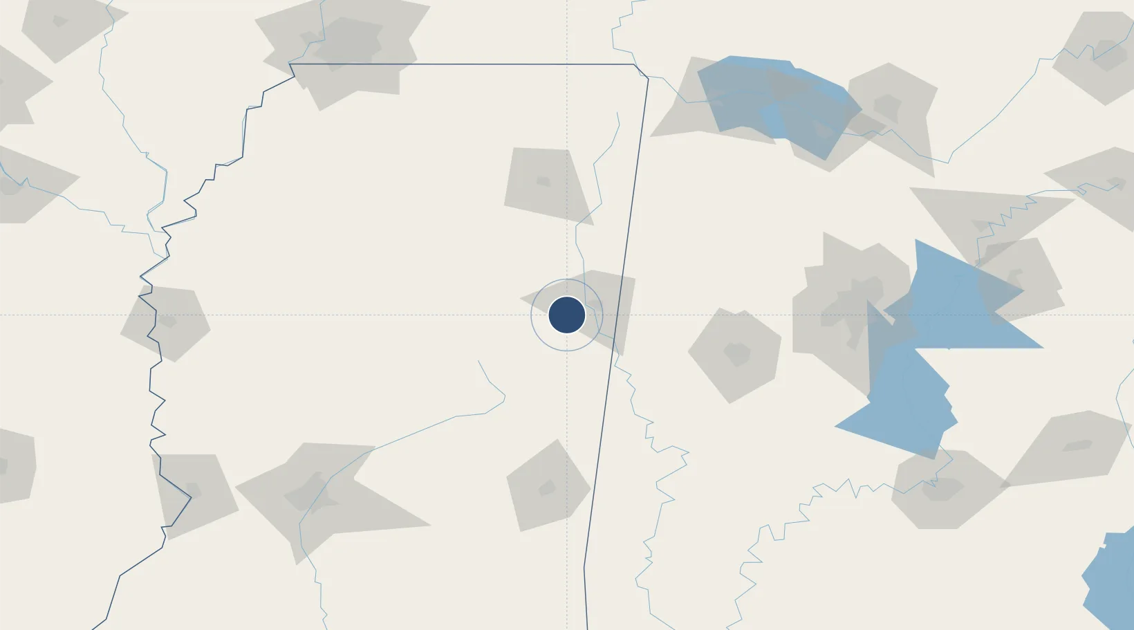
33.4503°, -88.5914°
8,003 ft
Longest runway
1
Runways
264 ft
Elevation
Runway & Layout

Radio Frequencies
ATIS
126.375 MHz
AWOS
126.375 MHz
AWOS 3
TWR
118.2 MHz
GND
135.375 MHz
GND/CLNC DEL
CLD
126.25 MHz
COLUMBUS CLNC DEL
CTAF
118.2 MHz
A/D
135.6 MHz
COLUMBUS APP/DEP
UNIC
122.8 MHz
UNICOM
Runways · 1
| Runway | Dimensions | Surface | True heading | Lit |
|---|---|---|---|---|
| 18/36 | 8,003 × 150ft | Asphalt | 180° | ✓ |
Airport Specifications
IATA code
GTR
ICAO code
KGTR
Airport class
Medium airport
Scheduled service
Yes
Runway surface
Asphalt
Served city
Columbus/W Point/Starkville
Location
Nearby Logistics Neighbours
Airports
Cities
- 1Mayhew5 km
- 2Artesia7 km
- 3Brooksville24 km
- 4Pickensville39 km
- 5Prairie40 km
Ports
- 1Port Of Memphis231 km
- 2Mobile311 km
- 3Biloxi342 km
- 4Pascagoula345 km
- 5Gulfport348 km
Trade Zones
- 1FTZ No. 098 Birmingham165 km
- 2FTZ No. 265 Conroe (Montgomery County)202 km
- 3FTZ No. 270 Lawrence County203 km
- 4FTZ No. 262 Southaven213 km
- 5FTZ No. 083 Huntsville214 km
DatabookThe Record of Consolidated Knowledge
United States beyond logistics?