UN/LOCODE hub · United States
USKSL
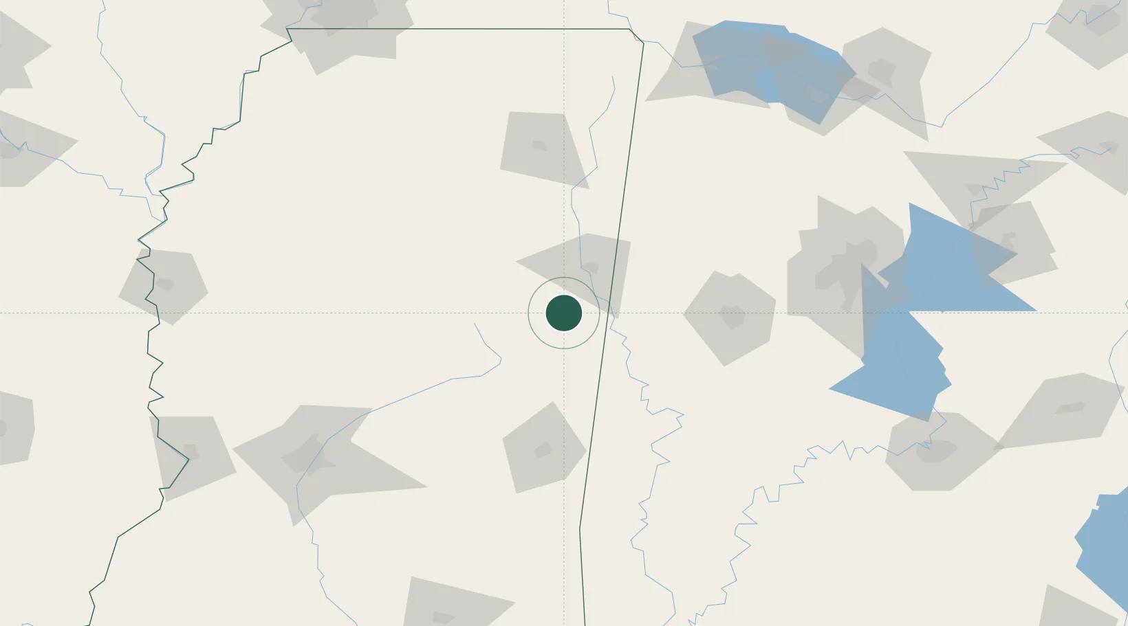
Brooksville
33.2333°, -88.5833°
1,173
Population
3
Transport functions
Transport Functions
Rail
Road
Multimodal
Hub Profile
Place type
Populated place
Region
Mississippi
Population
1,173
Time zone
America/Chicago
Elevation
84 m
Location
Nearby Logistics Neighbours
Cities
- 1Artesia21 km
- 2Mayhew28 km
- 3Pickensville30 km
- 4Carrollton47 km
- 5Noxapater52 km
Ports
- 1Port Of Memphis251 km
- 2Mobile287 km
- 3Biloxi318 km
- 4Pascagoula321 km
- 5Gulfport324 km
Airports
Trade Zones
- 1FTZ No. 098 Birmingham168 km
- 2FTZ No. 265 Conroe (Montgomery County)219 km
- 3FTZ No. 270 Lawrence County219 km
- 4FTZ No. 083 Huntsville230 km
- 5FTZ No. 158 Vicksburg Jackson230 km
DatabookThe Record of Consolidated Knowledge
United States beyond logistics?