Foreign Trade Zone · United States

FTZ No. 083 Huntsville Active
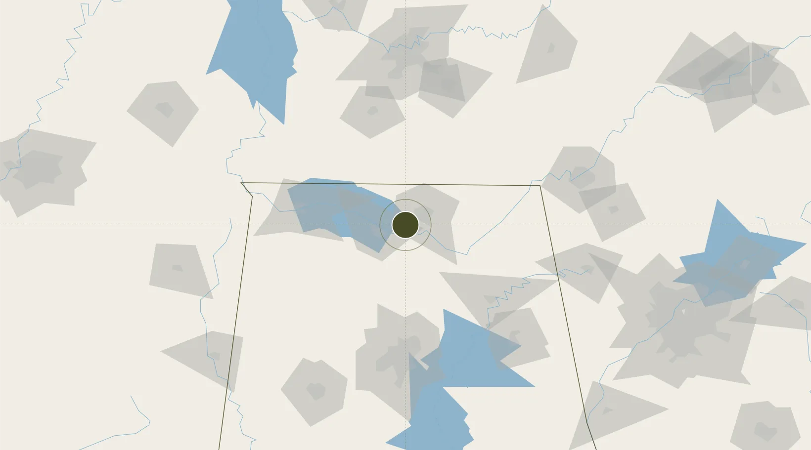
34.6449°, -86.7671°
313.7 km
Nearest port
1.2 km
Nearest airport

Gateway access

Nearest neighbours — logibook spatial index (haversine) over the source coordinates

Zone profile

Zone type
Foreign Trade Zone
Open Zone Map
Region
Alabama
Open Zone Map
Status
Active
Open Zone Map
Management
Public
Open Zone Map
Operator
Huntsville-Madison County Airport Authority
Open Zone Map
Legal framework
Foreign-Trade Zones Act
Open Zone Map

Location

Location of ozm-4855
Natural Earth 10m (public domain) · Alabama · ozm-4855 · 34.64, -86.77GoogleOSMYandex

Nearby Logistics Neighbours

Ports
  1. 1Port Of Memphis314 km
  2. 2Mobile458 km
  3. 3Pensacola474 km
  4. 4Pascagoula507 km
  5. 5Panama City513 km
Nearest neighbours — logibook spatial index (haversine) over the source coordinates
Airports
  1. 1Huntsville International Airport1 km
  2. 2Redstone Army Air Field8 km
  3. 3Northwest Alabama Regional Airport78 km
  4. 4Birmingham-Shuttlesworth International Airport120 km
  5. 5Anniston Regional Airport144 km
Nearest neighbours — logibook spatial index (haversine) over the source coordinates
Cities
  1. 1Belle Mina9 km
  2. 2Rainbow12 km
  3. 3Tanner21 km
  4. 4Georgia27 km
  5. 5Toney29 km
Nearest neighbours — logibook spatial index (haversine) over the source coordinates
Trade Zones
  1. 1FTZ No. 270 Lawrence County14 km
  2. 2FTZ No. 265 Conroe (Montgomery County)18 km
  3. 3FTZ No. 098 Birmingham125 km
  4. 4FTZ No. 134 Chattanooga136 km
  5. 5FTZ No. 078 Nashville174 km
Nearest neighbours — logibook spatial index (haversine) over the source coordinates
DatabookThe Record of Consolidated Knowledge
United States beyond logistics?
Browse databook

All Sources

Trade ZonesOpen Zone Map
CC BY
Portsthe NGA World Port Index
Public domain (US gov)
AirportsOurAirports
Public domain
LocationsUN/LOCODE
UN/LOCODE — free
← United States trade zones