UN/LOCODE hub · United States
USC2R
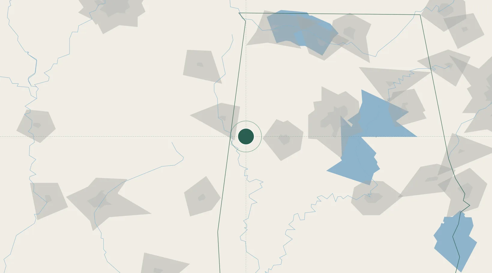
Carrollton
33.2500°, -88.0833°
988
Population
1
Transport functions
Transport Functions
Multimodal
Hub Profile
Place type
Provincial seat
Region
Alabama
Population
988
Time zone
America/Chicago
Elevation
75 m
Location
Nearby Logistics Neighbours
Cities
- 1Reform16 km
- 2Pickensville17 km
- 3Millport33 km
- 4Brooksville47 km
- 5Eutaw51 km
Ports
- 1Port Of Memphis279 km
- 2Mobile285 km
- 3Pascagoula326 km
- 4Pensacola327 km
- 5Biloxi328 km
Airports
Trade Zones
- 1FTZ No. 098 Birmingham122 km
- 2FTZ No. 265 Conroe (Montgomery County)188 km
- 3FTZ No. 270 Lawrence County188 km
- 4FTZ No. 222 Montgomery192 km
- 5FTZ No. 083 Huntsville197 km
DatabookThe Record of Consolidated Knowledge
United States beyond logistics?