Medium airport · United States

Columbus Air Force BaseKCBM
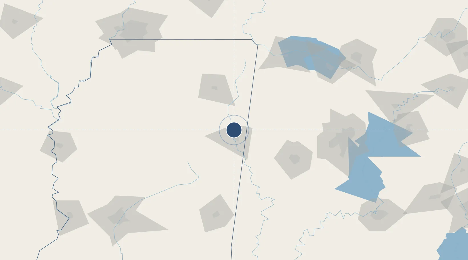
33.6438°, -88.4438°
12,004 ft
Longest runway
3
Runways
219 ft
Elevation

Runway & Layout

Columbus Air Force Base runway & taxiway layout
Runway & taxiway layout — OpenStreetMap (ODbL) / OurAirports

Radio Frequencies

ATIS
115.2 MHz
TWR
128.65 MHz
GND
121.9 MHz
CLD
33.86 MHz
CLNC DEL
APP
126.075 MHz
DEP
132.05 MHz
MISC
25.21 MHz
SOF
PMSV
34.46 MHz
PMSV METRO
PTD
37.6 MHz
OurAirports

Navaids

CBM VORTAC Caledonia 115.20 MHz
IGB VORTAC Bigbee 116.20 MHz
OurAirports

Runways · 3

RunwayDimensions SurfaceTrue headingLit
13C/31C 12,004 × 300ft Asphalt / concrete 134°
13L/31R 8,001 × 150ft Asphalt / concrete 135°
13R/31L 6,320 × 175ft Concrete 134°
OurAirports

Airport Specifications

IATA code
CBM
OurAirports
ICAO code
KCBM
OurAirports
Airport class
Medium airport
OurAirports
Scheduled service
No
OurAirports
Runway surface
Asphalt / concrete
OurAirports
Served city
Columbus
OurAirports

Location

Location of KCBM
Natural Earth 10m (public domain) · Mississippi · KCBM · 33.64, -88.44GoogleOSMYandex

Nearby Logistics Neighbours

Airports
  1. 1Golden Triangle Regional Airport26 km
  2. 2Tupelo Regional Airport76 km
  3. 3Tuscaloosa National Airport90 km
  4. 4Naval Air Station Meridian / McCain Field122 km
  5. 5University Oxford Airport130 km
Nearest neighbours — logibook spatial index (haversine) over the source coordinates
Cities
  1. 1Lackey18 km
  2. 2Aberdeen22 km
  3. 3Mayhew25 km
  4. 4Prairie27 km
  5. 5Artesia32 km
Nearest neighbours — logibook spatial index (haversine) over the source coordinates
Ports
  1. 1Port Of Memphis224 km
  2. 2Mobile331 km
  3. 3Biloxi365 km
  4. 4Pascagoula366 km
  5. 5Gulfport371 km
Nearest neighbours — logibook spatial index (haversine) over the source coordinates
Trade Zones
  1. 1FTZ No. 098 Birmingham152 km
  2. 2FTZ No. 265 Conroe (Montgomery County)178 km
  3. 3FTZ No. 270 Lawrence County179 km
  4. 4FTZ No. 083 Huntsville190 km
  5. 5FTZ No. 262 Southaven206 km
Nearest neighbours — logibook spatial index (haversine) over the source coordinates
DatabookThe Record of Consolidated Knowledge
United States beyond logistics?
Browse databook

All Sources

AirportsOurAirports
Public domain
Portsthe NGA World Port Index
Public domain (US gov)
LocationsUN/LOCODE
UN/LOCODE — free
Trade Zonesthe World Bank SEZ database
CC BY 4.0
Trade ZonesOpen Zone Map
CC BY
InfrastructureOpenStreetMap
ODbL 1.0
← United States airports