UN/LOCODE hub · United States
USTAJ

Alta Loma

34.1167°, -117.5833°
2
Transport functions

Transport Functions

Port
Multimodal
UN/LOCODE

Hub Profile

Place type
Urban district
GeoNames
Region
California
GeoNames
Time zone
America/Los_Angeles
GeoNames
Elevation
420 m
GeoNames

Location

Location of USTAJ
Natural Earth 10m (public domain) · California · USTAJ · 34.12, -117.58GoogleOSMYandex

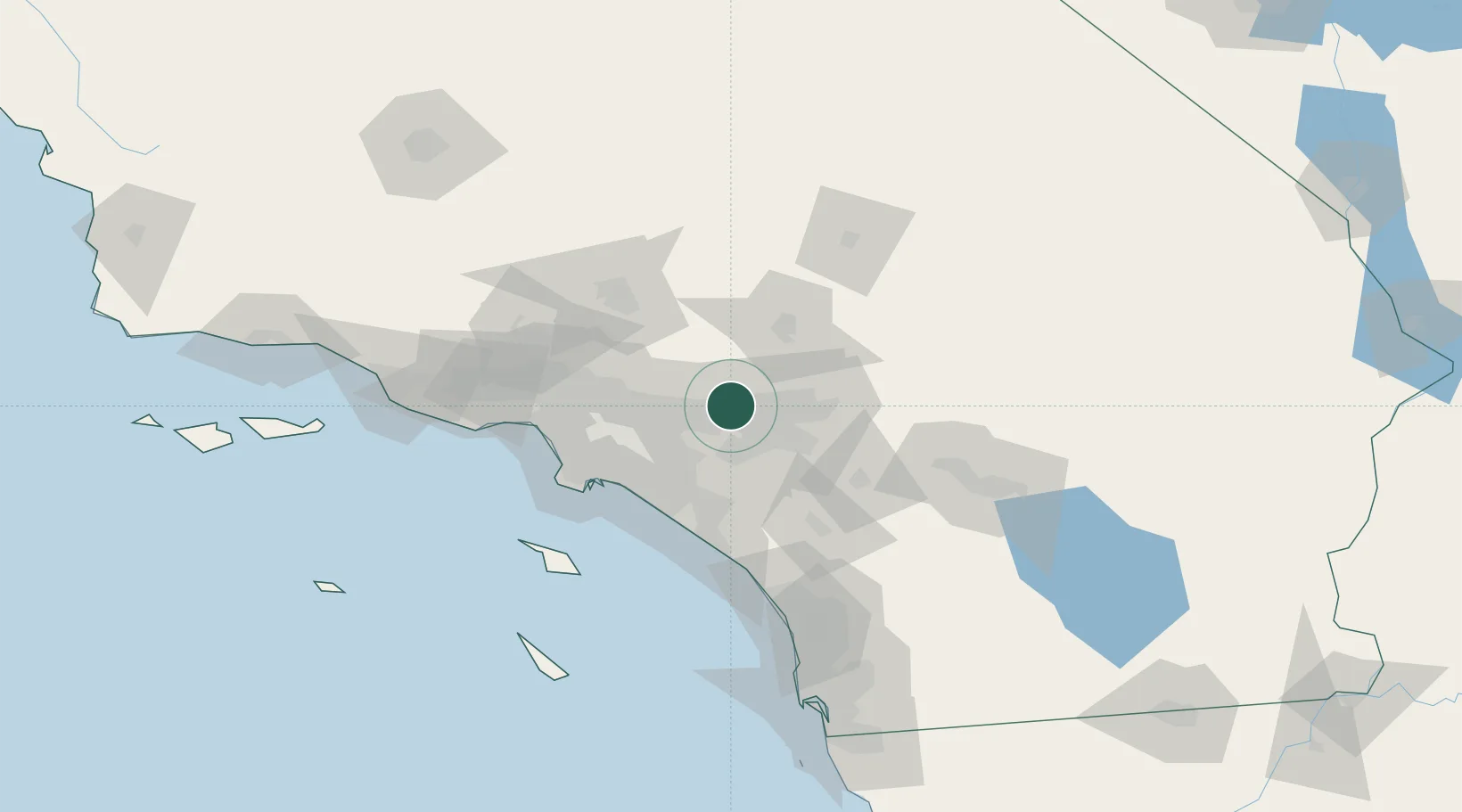
Nearby Logistics Neighbours

Cities
  1. 1Etiwanda6 km
  2. 2Kaiser10 km
  3. 3Ladera Ranch16 km
  4. 4Bloomington18 km
  5. 5Eastvale19 km
Nearest neighbours — logibook spatial index (haversine) over the source coordinates
Ports
  1. 1Newport Beach63 km
  2. 2Long Beach68 km
  3. 3Los Angeles74 km
  4. 4El Segundo81 km
  5. 5Avalon109 km
Nearest neighbours — logibook spatial index (haversine) over the source coordinates
Airports
  1. 1Ontario International Airport7 km
  2. 2Riverside Municipal Airport22 km
  3. 3San Bernardino International Airport32 km
  4. 4March Air Reserve Base40 km
  5. 5John Wayne Orange County International Airport56 km
Nearest neighbours — logibook spatial index (haversine) over the source coordinates
Trade Zones
  1. 1FTZ No. 244 Riverside County35 km
  2. 2FTZ No. 243 Victorville56 km
  3. 3FTZ No. 050 Long Beach61 km
  4. 4FTZ No. 191 Palmdale71 km
  5. 5FTZ No. 202 Los Angeles77 km
Nearest neighbours — logibook spatial index (haversine) over the source coordinates
DatabookThe Record of Consolidated Knowledge
United States beyond logistics?
Browse databook

All Sources

LocationsUN/LOCODE
UN/LOCODE — free
Portsthe NGA World Port Index
Public domain (US gov)
AirportsOurAirports
Public domain
Trade Zonesthe World Bank SEZ database
CC BY 4.0
Trade ZonesOpen Zone Map
CC BY
← United States locations