Transport Functions
Rail
Road
Hub Profile
Place type
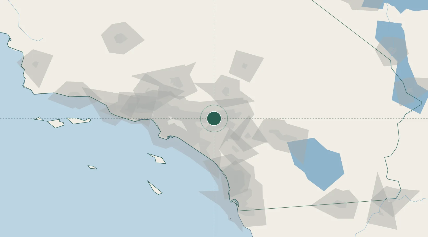
Populated place
Region
California
Time zone
America/Los_Angeles
Elevation
356 m
Location
Nearby Logistics Neighbours
Cities
- 1Etiwanda7 km
- 2Alta Loma10 km
- 3Bloomington11 km
- 4Eastvale12 km
- 5Rubidoux13 km
Ports
- 1Newport Beach60 km
- 2Long Beach69 km
- 3Los Angeles76 km
- 4El Segundo86 km
- 5Avalon107 km
Airports
Trade Zones
- 1FTZ No. 244 Riverside County26 km
- 2FTZ No. 243 Victorville61 km
- 3FTZ No. 050 Long Beach63 km
- 4FTZ No. 202 Los Angeles79 km
- 5FTZ No. 191 Palmdale81 km
DatabookThe Record of Consolidated Knowledge
United States beyond logistics?