UN/LOCODE hub · United States
USBQT
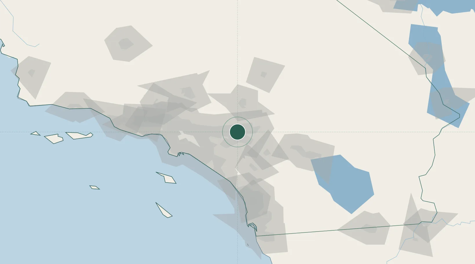
Bloomington
34.0667°, -117.4000°
23,851
Population
2
Transport functions
Transport Functions
Rail
Road
Hub Profile
Place type
Populated place
Region
California
Population
23,851
Time zone
America/Los_Angeles
Elevation
335 m
Location
Nearby Logistics Neighbours
Cities
- 1Rubidoux9 km
- 2Grand Terrace10 km
- 3Kaiser11 km
- 4Etiwanda12 km
- 5Loma Linda14 km
Ports
- 1Newport Beach68 km
- 2Long Beach80 km
- 3Los Angeles86 km
- 4El Segundo97 km
- 5Avalon116 km
Airports
Trade Zones
- 1FTZ No. 244 Riverside County20 km
- 2FTZ No. 243 Victorville58 km
- 3FTZ No. 050 Long Beach74 km
- 4FTZ No. 236 Palm Springs86 km
- 5FTZ No. 191 Palmdale87 km
DatabookThe Record of Consolidated Knowledge
United States beyond logistics?