Transport Functions
Multimodal
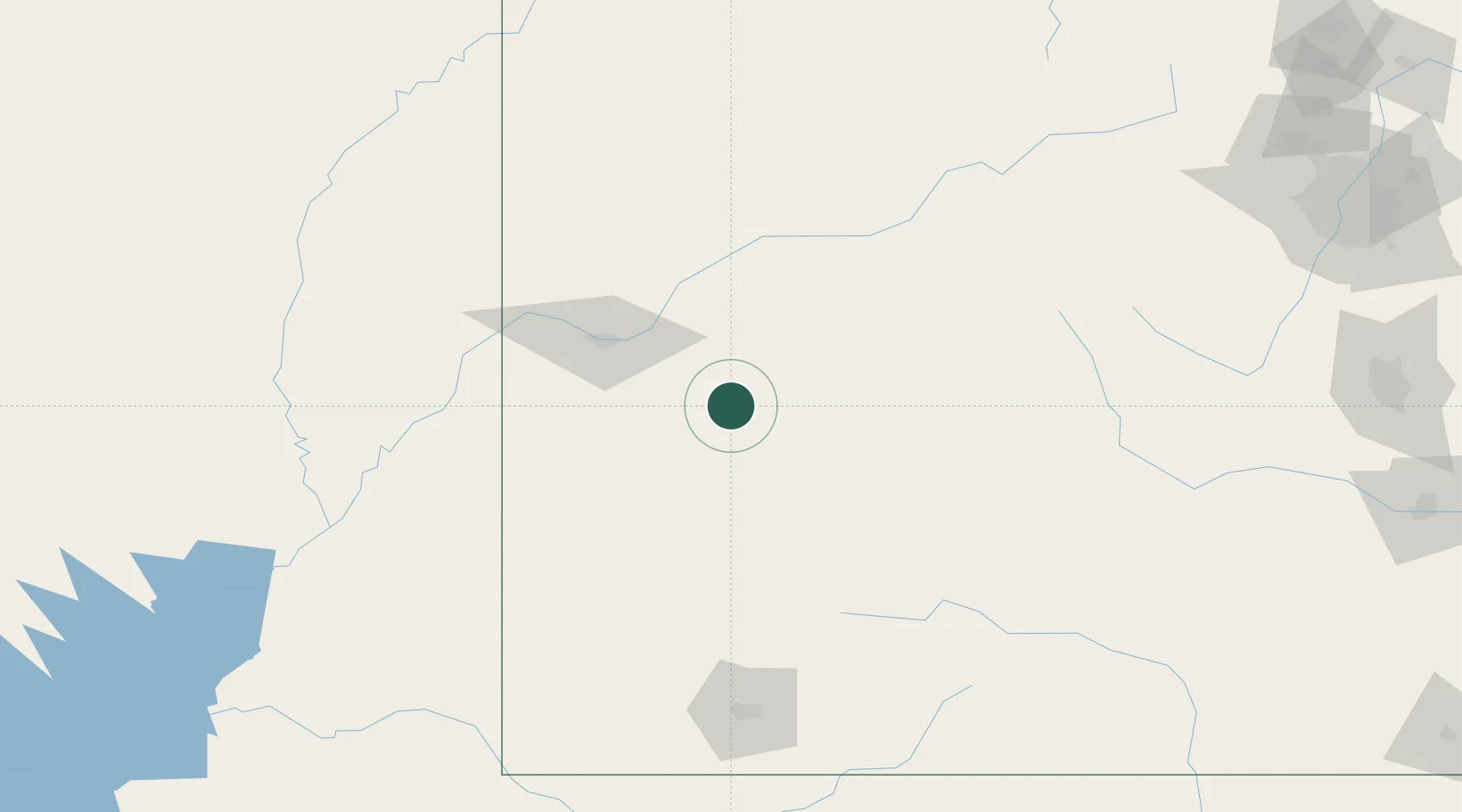
Hub Profile
Place type
Populated place
Region
Colorado
Time zone
America/Denver
Elevation
1,537 m
Location
Nearby Logistics Neighbours
Cities
- 1Ash Grove0 km
- 2Delta10 km
- 3Somerset46 km
- 4Clifton, Mesa57 km
- 5Parachute77 km
Ports
- 1Newport Beach1060 km
- 2San Diego1070 km
- 3Long Beach1072 km
- 4Los Angeles1078 km
- 5El Segundo1082 km
Airports
Trade Zones
- 1FTZ No. 298 Jefferson County264 km
- 2FTZ No. 112 Colorado Springs271 km
- 3FTZ No. 123 Denver277 km
- 4FTZ No. 293 Limon372 km
- 5FTZ No. 030 Salt Lake City411 km
DatabookThe Record of Consolidated Knowledge
United States beyond logistics?