UN/LOCODE hub · United States
USXPH

Prairie Hill, Washington

30.2500°, -96.3833°
2
Transport functions

Transport Functions

Road
Multimodal
UN/LOCODE

Hub Profile

Region
TX
GeoNames

Location

Location of USXPH
Natural Earth 10m (public domain) · TX · USXPH · 30.25, -96.38GoogleOSMYandex

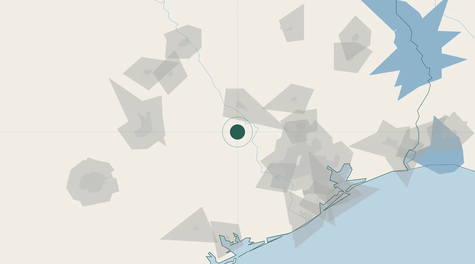
Nearby Logistics Neighbours

Cities
  1. 1Millican30 km
  2. 2Carmine32 km
  3. 3Navasota32 km
  4. 4Hemstead34 km
  5. 5Warrenton43 km
Nearest neighbours — logibook spatial index (haversine) over the source coordinates
Ports
  1. 1Deer Park115 km
  2. 2Houston120 km
  3. 3Pasadena127 km
  4. 4Baytown144 km
  5. 5Texas City171 km
Nearest neighbours — logibook spatial index (haversine) over the source coordinates
Airports
  1. 1Easterwood Field38 km
  2. 2Conroe-North Houston Regional Airport94 km
  3. 3Huntsville Regional Airport94 km
  4. 4Sugar Land Regional Airport99 km
  5. 5George Bush Intercontinental Airport105 km
Nearest neighbours — logibook spatial index (haversine) over the source coordinates
Trade Zones
  1. 1FTZ No. 084 Harris County115 km
  2. 2FTZ No. 171 Liberty County125 km
  3. 3FTZ No. 183 Austin130 km
  4. 4FTZ No. 246 Waco167 km
  5. 5FTZ No. 199 Texas City170 km
Nearest neighbours — logibook spatial index (haversine) over the source coordinates
DatabookThe Record of Consolidated Knowledge
United States beyond logistics?
Browse databook

All Sources

LocationsUN/LOCODE
UN/LOCODE — free
Portsthe NGA World Port Index
Public domain (US gov)
AirportsOurAirports
Public domain
Trade Zonesthe World Bank SEZ database
CC BY 4.0
Trade ZonesOpen Zone Map
CC BY
← United States locations