UN/LOCODE hub · United States
USC8R

Carmine

30.1333°, -96.6833°
257
Population
1
Transport functions

Transport Functions

Multimodal
UN/LOCODE

Hub Profile

Place type
Populated place
GeoNames
Region
Texas
GeoNames
Population
257
GeoNames
Time zone
America/Chicago
GeoNames
Elevation
132 m
GeoNames

Location

Location of USC8R
Natural Earth 10m (public domain) · Texas · USC8R · 30.13, -96.68GoogleOSMYandex

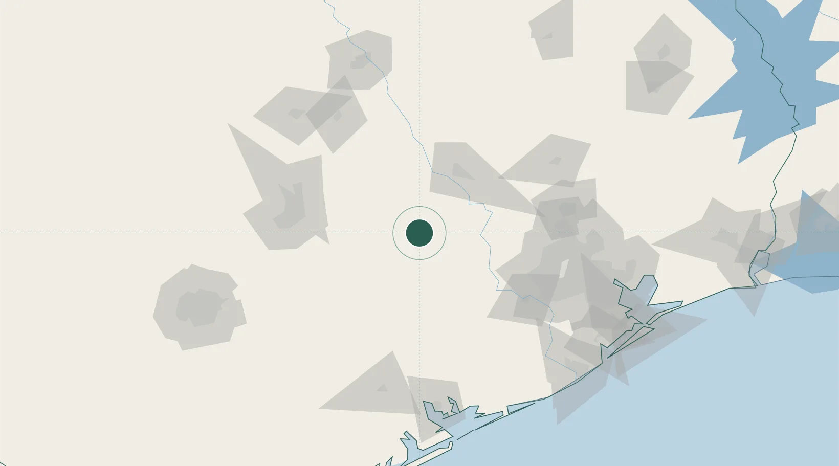
Nearby Logistics Neighbours

Cities
  1. 1Warrenton14 km
  2. 2Giddings24 km
  3. 3Fayetteville26 km
  4. 4Prairie Hill, Washington32 km
  5. 5Muldoon52 km
Nearest neighbours — logibook spatial index (haversine) over the source coordinates
Ports
  1. 1Deer Park137 km
  2. 2Houston142 km
  3. 3Pasadena149 km
  4. 4Baytown167 km
  5. 5Palacios167 km
Nearest neighbours — logibook spatial index (haversine) over the source coordinates
Airports
  1. 1Easterwood Field59 km
  2. 2Austin Executive Airport90 km
  3. 3Austin Bergstrom International Airport94 km
  4. 4Sugar Land Regional Airport114 km
  5. 5San Marcos Regional Airport117 km
Nearest neighbours — logibook spatial index (haversine) over the source coordinates
Trade Zones
  1. 1FTZ No. 183 Austin103 km
  2. 2FTZ No. 084 Harris County138 km
  3. 3FTZ No. 171 Liberty County154 km
  4. 4FTZ No. 246 Waco167 km
  5. 5FTZ No. 149 Freeport179 km
Nearest neighbours — logibook spatial index (haversine) over the source coordinates
DatabookThe Record of Consolidated Knowledge
United States beyond logistics?
Browse databook

All Sources

LocationsUN/LOCODE
UN/LOCODE — free
LocationsGeoNames
CC BY 4.0
Portsthe NGA World Port Index
Public domain (US gov)
AirportsOurAirports
Public domain
Trade Zonesthe World Bank SEZ database
CC BY 4.0
Trade ZonesOpen Zone Map
CC BY
← United States locations