UN/LOCODE hub · United States
USVSA
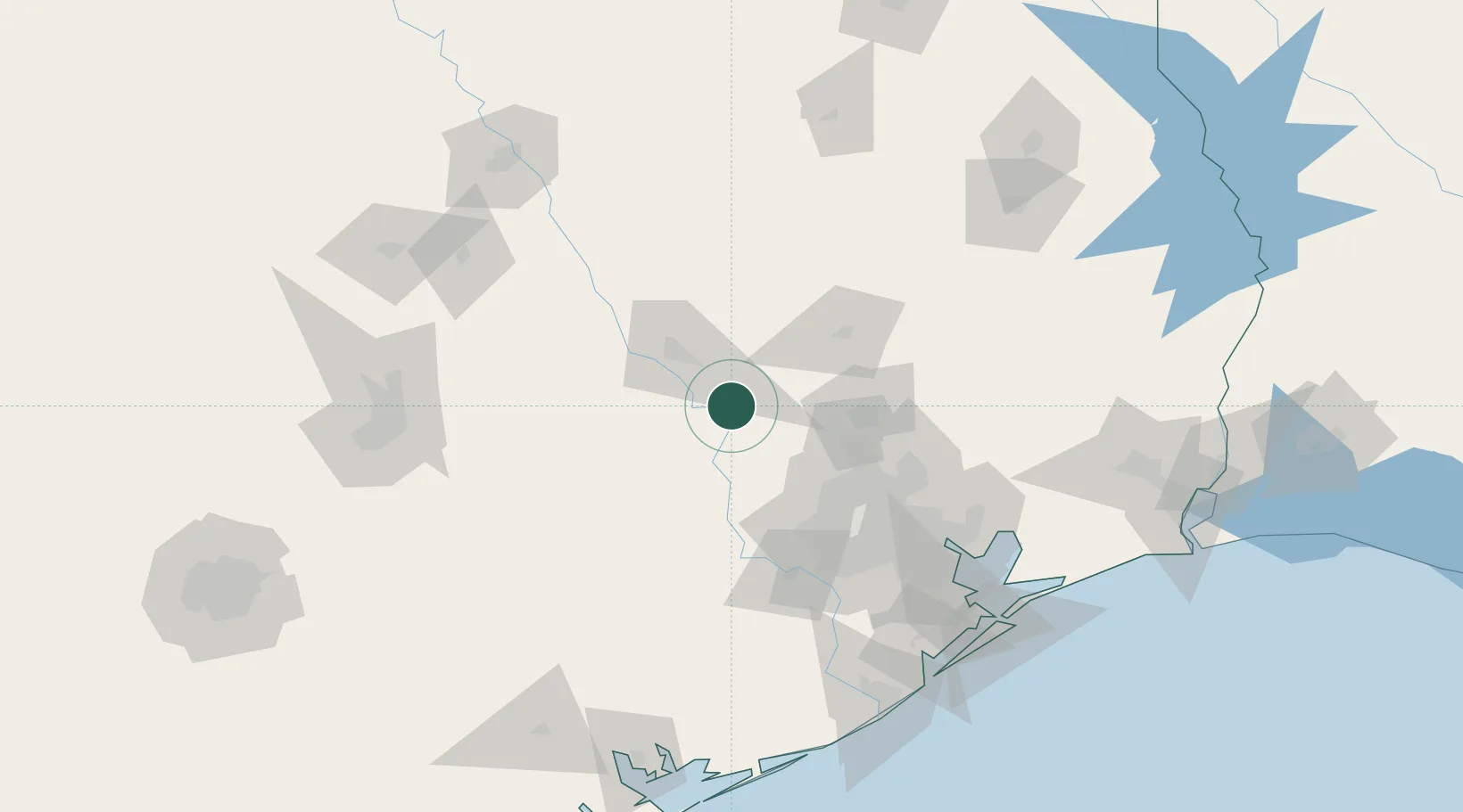
Navasota
30.3833°, -96.0833°
7,476
Population
3
Transport functions
Transport Functions
Rail
Road
Multimodal
Hub Profile
Place type
Populated place
Region
Texas
Population
7,476
Time zone
America/Chicago
Elevation
66 m
Location
Nearby Logistics Neighbours
Cities
- 1Millican15 km
- 2Prairie Hill, Washington32 km
- 3Hemstead33 km
- 4Montgomery37 km
- 5Magnolia38 km
Ports
- 1Deer Park101 km
- 2Houston104 km
- 3Pasadena112 km
- 4Baytown126 km
- 5Texas City158 km
Airports
Trade Zones
- 1FTZ No. 171 Liberty County98 km
- 2FTZ No. 084 Harris County99 km
- 3FTZ No. 199 Texas City157 km
- 4FTZ No. 183 Austin160 km
- 5FTZ No. 297 Lufkin161 km
DatabookThe Record of Consolidated Knowledge
United States beyond logistics?